
3D Laser Scanning
E N D
Presentation Transcript
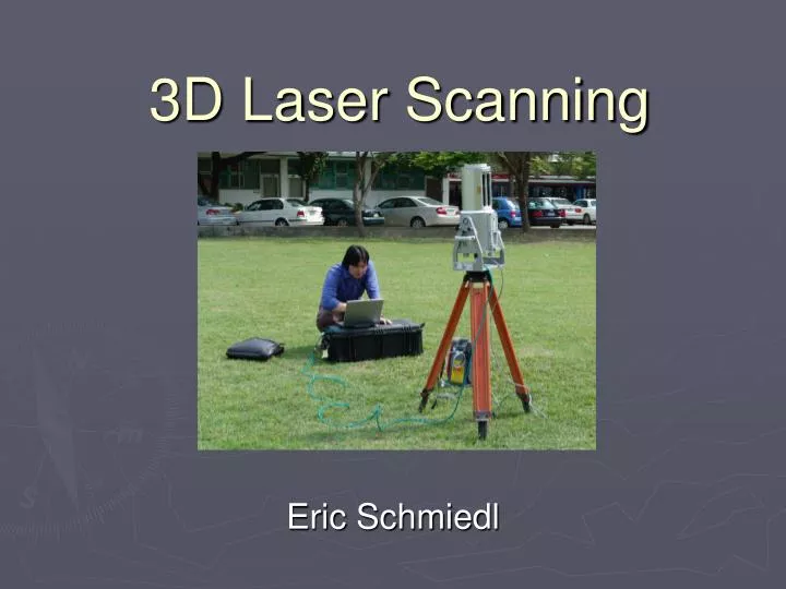
3D Laser Scanning Eric Schmiedl
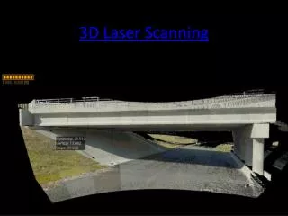
What is it useful for? • Surveying and mapping existing geography • Tracking excavation work • Documenting structures as built • Planning renovations to existing structures
Geography and mapping • Some 3D scanners can create 3D models of the geography in a 1km radius around the scanner as seen from the scan point • Generate 1 million++ data points in several hours, vs. tens or hundreds of data points with hand surveying • Accurate representation of intricate textural detail
Tracking excavation • 3D excavation site geometry is usually unknown -- only certain points normally measured • Laser scan can track ground deformation due to equipment movement & soil removal • Allows prediction of construction-related ground movements • Allows precise measurement of removed earth volume New Technologies for Tracking Urban Excavation Progress and Estimating Deformations Y. M. A. Hashash, L. Y. Liu, J. Ghaboussi, C. Marulanda, Y. Y. Su, H. Song, and A. Osouli, ASCE Conf. Proc. 199, 41 (2006)
Tracking excavation Laser scan can track ground deformation due to equipment movement and soil removal
Tracking excavation Excavation progress measurement
Tracking excavation • Allows precise measurement of excavated material • Volume of material removed each day easy to calculate • Accurate and timely estimate of job progress • Material volume can become basis of payment
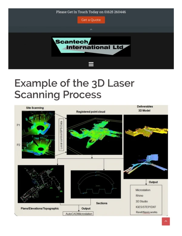
Documenting construction • As built documentation required in case original design documents not updated with change orders • Traditional hand measurements slow and laborious • 3D scanning creates a CAD model quickly and with relatively little effort
Planning construction • When renovating a structure, accurate models are needed to design and visualize changes • 3D data produced by laser scanning can be used to create 3D physical models through rapid prototyping Integrating Laser Scanning and Rapid Prototyping to Enhance Construction Modeling Jim Goedert, John Bonsell, and Fasineh Samura, J. Arch. Engrg. 11, 71 (2005)
Disadvantages • Cost and complexity • 300+ hours of training required • Almost $1 per linear foot more expensive (in geographic studies) than aerial photogrammetry