Download
1 / 16
160 likes | 192 Vues
This project aims to classify the vegetation types in Huai Kha Khaeng Wildlife Sanctuary and analyze the correlations between tiger occupancy and these vegetation types. Data from Landsat 5, tiger occupancy surveys, and other spatial data were used. The results of the classification and occupancy analysis provide valuable insights for tiger conservation efforts in the sanctuary.

E N D
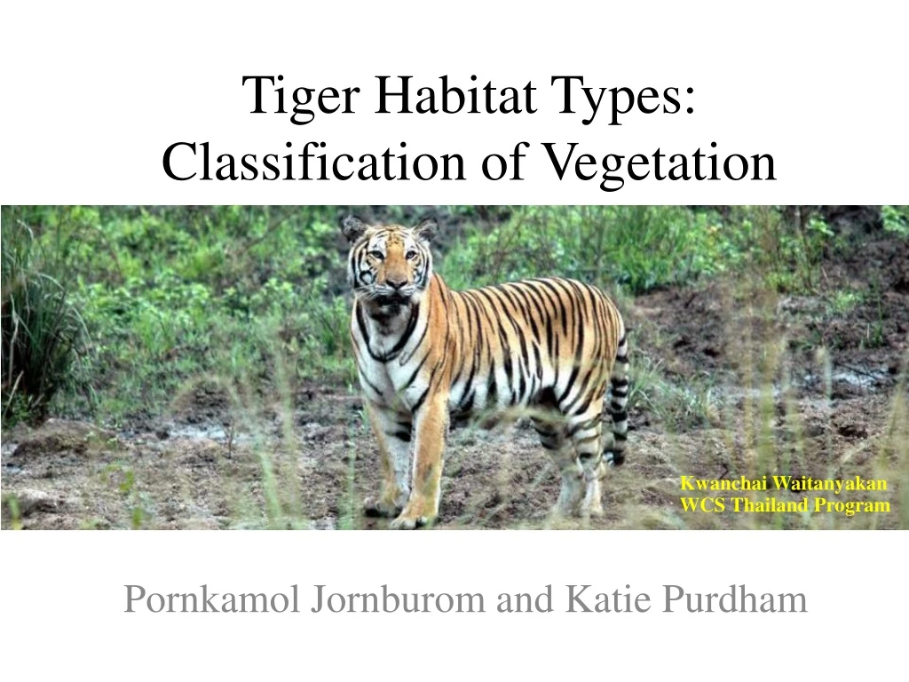
Tiger Habitat Types: Classification of Vegetation PornkamolJornburom and Katie Purdham KwanchaiWaitanyakan WCS Thailand Program
Outline • Background • Objectives • Data Used • Method • Classification • Tiger Occupancy Survey • Results • Conclusion
FOREST RESOURCES • Forest cover 28% of land area • Protected area system 15% of land area - National parks (102); wildlife sanctuaries (44) • National Forest & Forest plantations ~10% Area Background GENERAL INFOMATION • Land Area 513,000 km2 (198,000 mi2) • (larger than California but less than Texas) • Current population = 64 million
Area Background HuaiKhaKhaeng WS. • Area 2,780 sq.km • The major vegetation types - Tropical evergreen forest - Mixed deciduous forest • Elevations ranged from 200-1,560 msl. • 20 Park ranger stations • > 30 villages located around
Project Goals • Classify vegetation type in the HKK area • Analyze correlations between tiger occupancy and vegetation types • Look into other possible explanations for tiger occupancy (elevation, presence of streams, etc.)
Data • Landsat 5 (NDVI) • April/May 2011 • Landsat 5 (Classification) • 2004 Dry Season • Tiger Occupancy Data • November, 2010- May, 2011 • Other Spatial Data (DEM, streams, villages) • Department of National Park, Wildlife, and Plant Conservation
Methods Image classification • NDVI • Mosaic • Unsupervised Classification • Preprocessed • K means, 9 classes, 15 iterations, convergence threshold of .95
Results Unsupervised Classification NDVI
Methods Map Survey Index of WEFCOM Tiger occupancy survey
Methods Tiger occupancy survey The proportion of sites occupied by species the or “the probability that a site within a groups of sites is occupied” incorporated with detection probability. - Occupancy - Detection probability • Sign-based survey • Large landscape
Methods 6 4 5 3 1 2 • Replicate scale • Probability of habitat use Asingle season custom spatial correlation model To investigate the tiger’s habitat-use within certain land cover types, each1-km transect was treated as the ‘site’ while the 100-meter segments represented ‘replicates. When a sign of tigers is found at one replicate, successive replicates will have a much higher probability of the tigers being present than those farther away.
Methods Ecological variables • Forest type • NDVI • Elevation • Streams • Village • Ranger Station • Substrate
Results Estimates of B coefficient estimates for the logit link function a is defined as the probability that tiger signs are present on a spatial replicate given that spatial replicate b, is defined as the probability that tiger signs are present on the spatial replicate given that spatial replicate is occupied and tiger sign was present on the previous spatial replicate
Accuracy Assessment Dry evergreen forest Hill evergreen forest Bamboo forest Mixed deciduous forest Dry dipterocarpforest
Discussion and Future Projects • Tiger Occupancy Data • Landsat5 • More and Better Data • Habitat Suitability Map
Discussion and Future Projects Khao Nang Ram Wildlife Research Station, Thailand


