Download
1 / 19
190 likes | 320 Vues
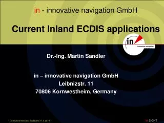
in - innovative navigation GmbH Current Inland ECDIS applications. Dr.- Ing . Martin Sandler in – innovative navigation GmbH Leibnizstr. 11 70806 Kornwestheim, Germany. Current Inland ECDIS Applications. Course. Inland ECDIS navigation systems Current Inland AIS developments

E N D
in - innovative navigation GmbHCurrent Inland ECDIS applications Dr.-Ing. Martin Sandler in – innovative navigation GmbH Leibnizstr. 11 70806 Kornwestheim, Germany
Current Inland ECDIS Applications Course Inland ECDIS navigation systems Current Inland AIS developments Land based systems Simulator based Inland ECDIS training
Inland ECDIS Usage Inland-ECDIS chart at central position in wheelhouse Important role for navigation Standard equipment on vessels in Rhine area
Operation mode - INFORMATION • Chart display, GPS based • Display of AIS information • Operation of transponder
Operation mode - NAVIGATION • Inland ECDIS chart + radar • radar echoes • own vessel • river banks • groyns • other ships
Operation mode - NAVIGATION • Integration of chart, radar and AIS • type approval • usage of depth information
Additional Features • recording (black box) • conning display • target tracking (radar based with AIS fusion) • guiding lines • look ahead • optimal support of skipper
Integration of AIS Lookingaroundthecorner Enhancingviewofskipper
Integration of AIS NEW Functions • Sending convoy information • definition of barges • AIS information about barges
Integration of AIS NEW Functions • Visualizing traffic lights • in chart • as look ahead
Vessel Traffic Surveillance Example: RVZ Oberwesel Integration of information from 4 radar antennae with Inland ECDIS chart display
Vessel Traffic Surveillance ( ( ( ( ( Example: Middle Weser Inland ECDIS + Inland AIS meeting limited at river reach Drakenburg (12 km) land based AIS infrastructure to ensure proper communication Inland ECDIS + Inland AIS on board provide information about traffic situation (( ( (
Inland ECDIS for Traffic Surveillance New display application Inland
Display for Traffic Surveillance Coastal
Display for Traffic Surveillance Coastal Track display
Simulator basedInland ECDIS training Bridge setup WSPS Hamburg • Example: WSPS Hamburg • 3 bridges (sea + inland) • 2 instructor stations • Radar simulationfor training of skippers • Usage of RADARpilot720° as Inland ECDIS display • Usage of Virtual Navigation Environment (VNE) as simulator kernel Instructor desk WSPS Hamburg
bridge 1 bridge 2 bridge 3 Simulator basedInland ECDIS training WSPS Hamburg Connection of transponder integration of live data AIS
Simulator basedInland ECDIS training Training to steer different vessel types RADARpilot720° as integrated ECDIS navigation system
SIGHT! Thank you for your attention