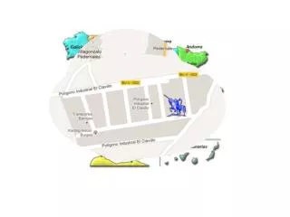
Mapa sugerido
Mapa sugerido. Situación Geográfica de la región de Cachemira. Territorio principalmente montañosos ubicado a 6000 metros de altura en la parte septentrional del subcontinente Indo. Está dividida topográficamente en tres regiones: el valle del río Jhelum, que incluye el valle


Mapa sugerido
E N D
Presentation Transcript
Situación Geográfica de la región de Cachemira • Territorio principalmente montañosos • ubicado a 6000 metros de altura en • la parte septentrional del subcontinente • Indo. • Está dividida topográficamente en tres • regiones: • el valle del río Jhelum, que incluye el valle • de Cachemira en la parte central; las • montañas que rodean Jammu al sur, y las • grandes montañas de la cordillera • Karakorum al norte. • El río Indo fluye a través de Cachemira y • el río Jhelum nace en la zona noreste del • territorio. Cordillera Karakorum Valle Montañas Jammu