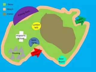
GRASS
GRASS. Geographic Resources Analysis Support System. Gabor Heves 8 June, Belgrade. A general purpose, raster/vector Geographic Information System… …combined with integrated image processing and data visualization subsystems. More specifically: geospatial data management and analysis,

GRASS
E N D
Presentation Transcript
GRASS Geographic Resources Analysis Support System Gabor Heves 8 June, Belgrade
A general purpose, raster/vector Geographic Information System… • …combined with integrated image processing and data visualization subsystems. More specifically: • geospatial data management and analysis, • image processing, • graphics/maps production, • spatial modeling, and • visualization What is GRASS?
Originally developed by the U.S. Army Construction Engineering Research Laboratories between 1982-1995 Primarily for scientific research: academic, commercial, government (e.g. NASA, US National Park Service, U.S. Census Bureau, USGS etc.) Raster & vector processing, data in SQL database, version 6.0, runs on Unix, Windows, MAC About GRASS
Community-based development: • by US agencies (core components, module integration), universities, and private companies • by any user • Since 1997 worldwide network of developers • Several million $ worth of development effort Development of GRASS
GRASS GIS manager Graphical user interfaces Quantum GIS (Linux/Unix only) Raster, vector, database formats JAVA GRASS Server: spatial processing engine Client: Graphical User Interface Typically used in remote access/production environment
Disadvantages • Installation difficult • Limited user friendliness • Need substantial computer/GIS experience to use Advantages • Extensive functionality, a leading GIS package • Large and influential user/development community • Freely available, open source
Examples for use • Geography • Landscape ecology • Urban planning • Biology • Geophysics • Hydrology • Groundwater Flow Modeling • Vector network analysis • Geostatistics • Raster 3D Volume