Download
1 / 24
240 likes | 262 Vues
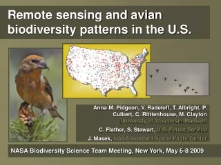
This research program aims to integrate remote-sensing data with evolutionary diversification patterns to predict future species distributions amidst a changing climate. Through training programs in Latin America and the US, scientists and conservationists will learn to determine the correlates of species richness across taxonomic groups and spatial scales. The study will address issues in species distribution modeling, environmental datasets, and extinction risks from climate change, utilizing both climate and remote-sensing data for accurate predictions and conservation efforts.

E N D
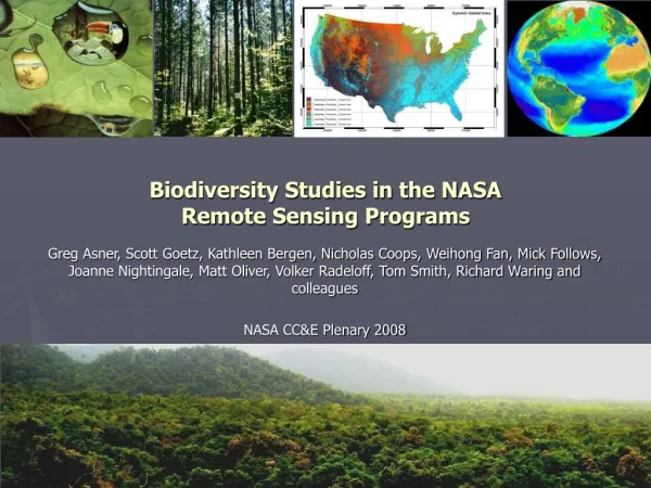
Remote-sensing and biodiversity in a changing climate Catherine Graham SUNY-Stony Brook Robert Hijmans, UC-Berkeley Lianrong Zhai, SUNY-Stony Brook Sassan Saatchi, JPL/UCLA Tom Smith, UCLA
Research Program (NIP) • Integrate remote-sensing data into species distributional modeling • Determine remote-sensing correlates of species richness across multiple taxonomic groups and spatial scales • Integrate remote-sensing data with patterns of evolutionary diversification • Predict future species distributions • Train Latin America and US scientists and conservationists
Research Program (NIP) • Integrate remote-sensing data into species distributional modeling • Determine remote-sensing correlates of species richness across multiple taxonomic groups and spatial scales • Integrate remote-sensing data with patterns of evolutionary diversification • Predict future species distributions • Train Latin America and US scientists and conservationists
Species Distributional Models 2) Make statistical model describing distribution in envirnomental space; 1) Extract environmental data for point localities; 3) Project this model in geographic space to create a map. Annual Temperature Annual Rainfall
Possible environmental datasets • Remote sensing • Indirect measurements • High resolution • Global coverage • Recent coverage • Climate • Direct measurements • Low resolution • Extrapolations • Global coverage • Long term coverage
Remote-sensing data: issues for species distributional modeling • Age of point locality data • Spatial accuracy of point locality data
Remote-sensing data: issues for species distributional modeling Remote- sensing Climate
A solution • Use all point locality data with climate surfaces (museum and accurate recent survey data) • Use only “accurate” point locality data with remote-sensing layers (modis tree)
CLIMATE & REMOTE-SENSING
CLIMATE & REMOTE-SENSING WITH ACCURATE POINTS
Research program • Integrating remote-sensing data into species distributional modeling • Determining remote-sensing correlates of species richness across multiple taxonomic groups and spatial scales • Integrating remote-sensing data with patterns of evolutionary diversification • Predicting future species distributions • Training programs in Latin America and the US
Extinction Risk from Climate Change • (Thomas et al. 2004; Nature) • Predict 18 to 35% of species ’committed to extinction’ by 2050 • Global warming major threat to biodiversity
Potential Problem • with Niche Modeling and Climate Change • Future climates will not be completely analogous to current. • => Will models predict lower probabilities (model artifact)? • =>Validity of models should be tested using experimental approaches, historical evidence, physiological models and internal consistency.
Environmental space and climate change Future Current Species environmental requirements
Approach Compare results from physiology-based models (mechanistic models) with species distribution models Assume mechanistic models are “correct”
Experimental Design Compare
Species distribution (niche models) used • BIOCLIM – envelop (boxcar) method • DOMAIN – based on similarity statistics • GAM – Non-linear regression • MAXENT – machine learning/maximum entropy
Environmental space and climate change GAMS MAXENT Future BIOCLIM DOMAIN Current Species environmental requirements
Modeling species distributions across climates • Species distributional modeling can provide similar results to mechanistic models. • Performance of species distributional models varies • Next? Incorporate climate change with land use patterns to evaluate extinction risk for a suite of species