Download
1 / 11
110 likes | 218 Vues
This research project aims to assess and monitor forest carbon inventory dynamics in temperate forests of Hidalgo State, Mexico. The study utilizes satellite data and field measurements to develop spatial models for estimating forest carbon and related variables. National Forest Inventory data and remote sensing techniques are employed to map forest characteristics and carbon estimation. The research focuses on even-aged managed forests to understand the impact of management practices on carbon dynamics.

E N D
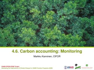
SAGARPA Colegio de Postgraduados RESEARCH INTEREST RELATED TO CARBON MONITORING J. René Valdez-Lazalde Postgrado Forestal, Colegio de Postgraduados (CP), Montecillo, Texcoco, Edo. de Méxicovaldez@colpos.mx
Materials and Methods Localización del área de estudio Figure 1. Location of the study area
Objective/Interest • To assess and monitor forest carbon inventory dynamics due to management practices • To develop state and regional spatial models to estimate forest carbon and forest carbon related related variables through spectral and field generated data.
Carbon Estimated using Satellite Data -- Zacualtipan, Hgo. Méx-- Localización del área de estudio Aguirre et al., 2009
Current Area of Interest • Temperateforest, Hidalgo State (INEGI Serie III).
Materials y Methods NationalForestInventory (INFyS): • 230 sites in thestate of Hidalgo • 181 sites in Hidalgo temperateforest • Pasive and active remotesensors (Landsat, SPOT, RADAR, LIDAR)
Imagen Multiespectral, RADAR Selección de bandas e Índices espectrales Datos de parcelas por grupo de especies, rodal o ecosistema (Inventario) 80% Cal Modelo a Nivel Pixel Alt = f (Datos Espectrales) DAP = f (Datos Espectrales) B = f (Alt, DAP) BIOMASA Aplicación de modelos para mapear las variables del bosque seleccionadas 20% Val Alt, DAP Carbon Estimation Colecta de información de la estructura del rodal (Alt, DAP, etc.) 50 Ton/ha 129 Ton/ha 50 100 150 200 Ton/ha
J. René Valdez Lazalde PostgradoForestal valdez@colpos.mx www.colpos.mx SAGARPA COLEGIO DE POSTGRADUADOS