Integrating GPS and Tide Gauge Data for Sea Level Trend Analysis
50 likes | 147 Vues
Explore the synergies between tide gauge and GPS data analysis to uncover trends in sea level changes. Leveraging advancements in GPS technologies and atmospheric corrections, this study presents a method to derive accurate sea level trends. Results show transformation parameters between weekly solutions to the combined dataset in ITRF2005.

Integrating GPS and Tide Gauge Data for Sea Level Trend Analysis
E N D
Presentation Transcript
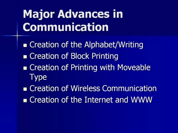
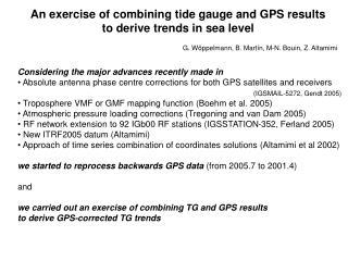
An exercise of combining tide gauge and GPS results to derive trends in sea level G. Wöppelmann, B. Martín, M-N. Bouin, Z. Altamimi • Considering the major advances recently made in • Absolute antenna phase centre corrections for both GPS satellites and receivers • (IGSMAIL-5272, Gendt 2005) • Troposphere VMF or GMF mapping function (Boehm et al. 2005) • Atmospheric pressure loading corrections (Tregoning and van Dam 2005) • RF network extension to 92 IGb00 RF stations (IGSSTATION-352, Ferland 2005) • New ITRF2005 datum (Altamimi) • Approach of time series combination of coordinates solutions (Altamimi et al 2002) • we started to reprocess backwards GPS data (from 2005.7 to 2001.4) • and • we carried out an exercise of combining TG and GPS results • to derive GPS-corrected TG trends
1.57 ± 2.06 1.63 ± 1.50 1.24 ± 1.25
Transformation parameters between each weekly solution and the combined one expressed in ITRF2005