Contact & Topics
Contact & Topics. Manuela Hirschmugl, JOANNEUM RESEARCH, Institute of Digital Image Processing, Wastiangasse 6, 8010 Graz, Austria Tel. ++43 (0) 316 876 – 1707 manuela.hirschmugl@joanneum.at www.joanneum.at/dib. Topics in 1st call: FP7-SME-2007-1 BOTTOM-UP APPROACH for SME

Contact & Topics
E N D
Presentation Transcript
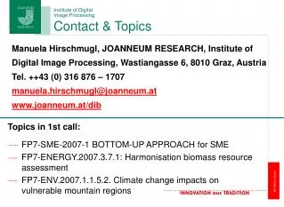
Contact & Topics Manuela Hirschmugl, JOANNEUM RESEARCH, Institute of Digital Image Processing, Wastiangasse 6, 8010 Graz, Austria Tel. ++43 (0) 316 876 – 1707 manuela.hirschmugl@joanneum.at www.joanneum.at/dib Topics in 1st call: • FP7-SME-2007-1 BOTTOM-UP APPROACH for SME • FP7-ENERGY.2007.3.7.1: Harmonisation biomass resource assessment • FP7-ENV.2007.1.1.5.2. Climate change impacts on vulnerable mountain regions
Forest-related expertise and experience Variety of projects, national, ESA and EU FP 4-6 (both coordination and participation) 1. Forest Monitoring ALPMON, SEMEFOR, GEOLAND, GSE-FM, KLEO, Wald&Wasser
Forest-related expertise and experience 2. Biomass / Forest Inventory (Airborne) Digital aerial camera data (GIS für Wald) Laserscanner data (HIGHSCAN)
Forest-related expertise and experience 3. Natural Hazards ASSIST, HANNIBAL, PRERISK, Laserscanner for Avalanche Modelling, EOLES before storm after storm
Forest-related expertise and experience • Further key competences: • Other environmental monitoring topics (glacier/ice, habitat, …) • High accurate geometric correction (RSG) • Visualization / WebGIS • Image processing and pattern recognition 4. Carbon / Biomass Mapping (Satellite-based) CarboInvent, Carbo-Europe, Carpathian Mountains Landsat/Modis data Estimation of carbon stocks based on KNN and BTF´s minmax Biomass calculation minmax