Download
1 / 27
270 likes | 443 Vues
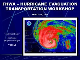
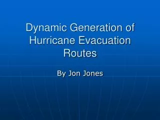
Hurricane Evacuation Routes Arc or line data representing official County and FDOT designated evacuation routes. Selected from FDOT TeleAtlas (2008) street network. Featuresets in a complete statewide extent, used for evacuation modeling. http://www.floridadisaster.org/gis/data.

E N D
Hurricane Evacuation Routes Arc or line data representing official County and FDOT designated evacuation routes. Selected from FDOT TeleAtlas (2008) street network. Featuresets in a complete statewide extent, used for evacuation modeling. http://www.floridadisaster.org/gis/data Florida Division of Emergency Management
Storm Surge Zones Indicates areas subject to flooding from different categories of hurricane. Data under revision with coastal LiDAR and SLOSH update project http://www.floridadisaster.org/gis/data http://map.floridadisaster.org/ArcGIS/rest/services/Storm_surge_zones/MapServer Florida Division of Emergency Management
HSIP Freedom layers Critical facility data layers deemed suitable for public distribution. QA/QC by contractor to NGA. http://www.floridadisaster.org/gis/criticalfacilities http://www.fgdl.org/metadataexplorer/explorer.jsp?keyword=hsip Florida Division of Emergency Management
Critical Facilities Inventory In-house critical facility enterprise database – locations from which essential services and functions for survival, continuation of public safety actions, and disaster recovery are performed or provided Available by request Florida Division of Emergency Management
Preparedness – floridadisaster.org/shelters During an event – only open shelters via the Red Cross NSS floridanss.communityos.org Working on web service Shelters
MEMPHIS – Mapping for Emergency Management, Parallel Hazard Information System Hazards related data http://lmsmaps.kinanco.com Florida Division of Emergency Management
LiDAR footprint and status http://map.floridadisaster.org/ArcGIS/rest/services/LiDAR/MapServer Florida Division of Emergency Management
LiDAR data distribution essentially on-hold as we concentrate on completing the project upon acceptance, data is being distributed to NWFWMD, SWFWMD, and RPC’s – who have all agreed to re-distribute FIU - http://mapping.ihrc.fiu.edu/fldemlidar Florida Division of Emergency Management
SLOSH basin updates http://www.floridadisaster.org/gis/LiDAR/index.htm#slosh http://map.floridadisaster.org/ArcGIS/rest/services 30’ LiDAR-derived DEM’s SLOSH grids may display SLOSH results? Florida Division of Emergency Management
USGS Response Maps • Pre-requisite – KML map viewer • Google Earth • ArcGIS Explorer • Obtain KML from FDEM GIS • via email richard.butgereit@em.myflorida.com • or posted in information messages during activations
USGS Response Maps • Maps may be printed • Must be printed 34” x 44” to support 1:24,000 scale for use with USNG map readers • Map series is available for all southeastern states (from USGS password-protected web site)
HAZUS is FEMA’s GIS Damage Assessment software Flhazusdata.com is Florida’s role-based, portal to support data management for HAZUS Supports ETL Florida HAZUS Data Portal
Statewide data updated Emergency Operation Centers Police Stations Fire Stations School Facilities Medical Care Facilities (DOH) Hazardous Materials Sites (DEM) Waste Water Facilities (DEP) Potatable Water Facilities (DEP) Military Florida HAZUS Data Portal
Planned statewide data updates Demographics Building counts Building square footage Transportation Florida HAZUS Data Portal
Hazardous Material Facilities For first responders User names/password provided through LEPC’s https://erplan.net Shanti Smith, Tech Hazards shanti.smith@em.myflorida.com 850-413-9925 Florida Division of Emergency Management
ACAMS Automated Critical Asset Management System User names/password required PCII authorization also required Sylvia Ifft, FDLE 850-410-8854 sylviaifft@fdle.state.fl.us Florida Department of Law Enforcement
Express Document Delivery (EDDie) is an online facility provided by the FEMA Map Service Center for use by federal, state, and local government employees and FEMA contractors. http://edd.msc.fema.gov FIRM DFIRM Flood Insurance Studies Federal Emergency Management Agency
floridadisaster.org/gis map.floridadisaster.org Richard Butgereit, GIS Administrator richard.butgereit@em.myflorida.com 850-413-9907 Erika Pittman, GIS Analyst erika.pittman@em.myflorida.com 850-413-9906 EOC-GIS@em.myflorida.com Florida Division of Emergency Management