Mali
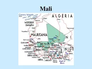
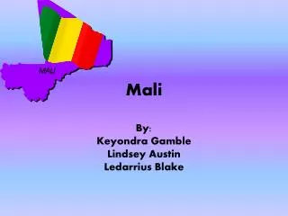
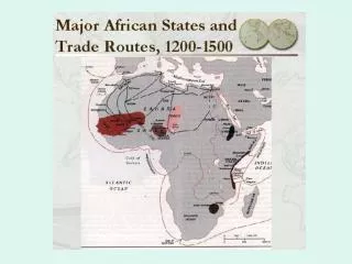
Mali. By: Keylee Brown Africa Project. Mali’s Map. Actual location: 17 degrees 00’ North latitude and 4 degrees 00’ West longitude Rivers: Niger, Senegal, Bafing, and Bakaye. Countries: Niger, Algeria, Mauritania, Senegal, Guinea, Cote D’Ivoire, Burkina Fose. Oceans: Atlantic Ocean.

Mali
E N D
Presentation Transcript
Mali By: Keylee Brown Africa Project
Mali’s Map • Actual location: 17 degrees 00’ North latitude and 4 degrees 00’ West longitude • Rivers: Niger, Senegal, Bafing, and Bakaye. • Countries: Niger, Algeria, Mauritania, Senegal, Guinea, Cote D’Ivoire, Burkina Fose. • Oceans: Atlantic Ocean. • Capital: Bamako.
Climate • It is Subtropical to the south and arid to the north. • Most of Mali receives little rainfall and droughts are frequent. • The rainy season is from June to December which sometimes floods the Niger river. • Most Malians live in the south due to the climate.
Vegetation • Cotton is Mali’s largest crop export and it is shipped west throughout Senegal and the Ivory Coast. • In 2002, 620,000 tons of cotton was produced. • Malians, also produce rice, millet, corn, vegetables, tobacco, and tree crops. • 80% of exports are livestock, gold, and agriculture
Religion • An estimated 90% of Malians are Muslim (mostly Sunni). • 9% of the people are indigenous or traditional animist. • The other 1% is Christian (two-thirds Roman Catholic and one-third Protestant).
Language • Mali’s official language is French. • 80% of Mali’s population speak in Bambara.
Economy • One of the poorest nations in the world. • Economic structure centers around agriculture and fishing. • Mali joined the World Trade Organization in 1995. • The money is CFA franc. • Mali is a developing country.
Government • Itis a democracy governed in 1992. • It has a President and a Prime Minister. • There are eight regions and each region has their own governor.
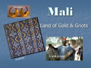
Natural Resources • Gold is mined in the south and Mali has the third highest gold production in Africa. • Some others are kaolin, salt, phosphate , limestone, and uranium.
Environment • Mali faces numerous environmental problems. • They have had desertification, deforestation, soil erosion, inadequate supplies of potable water. • Desert creatures include gazelles, desert foxes, sandfish, gerbils and scorpions. Other animals found in Mali are antelopes, giraffes, cheetahs, leopards, lions, baboons, and hippopotamuses, which can be seen along the River Niger
Work Cited • http://en.wikipedia.org/wiki/Mali • http://www.mapsofworld.com/lat_long/mali-lat-lang.html