Download
1 / 34
340 likes | 460 Vues
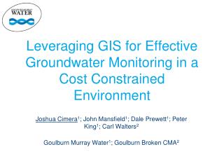
Leveraging GIS for Effective Groundwater Monitoring in a Cost Constrained Environment. Joshua Cimera 1 ; John Mansfield 1 ; Dale Prewett 1 ; Peter King 1 ; Carl Walters 2 Goulburn Murray Water 1 ; Goulburn Broken CMA 2. Partnership Acknowledgment.

E N D
Leveraging GIS for Effective Groundwater Monitoring in a Cost Constrained Environment Joshua Cimera1; John Mansfield1; Dale Prewett1; Peter King1; Carl Walters2 Goulburn Murray Water1; Goulburn Broken CMA2
Partnership Acknowledgment This project is funded as part of the Goulburn Broken Catchment Management Authority Regional Catchment Strategy in the Shepparton Irrigation Region and is provided with support and funding from the Australian Government and Victorian Government. This project is delivered primarily through partnerships between the Department of Environment and Primary Industries, Goulburn-Murray Water, the Goulburn Broken Catchment Management Authority and other bodies.
Presentation Outline • Background • Previous Approach • New Approach • Indicative Cost Savings • Role of GIS • Future Work
Background • Groundwater Monitoring Program jointly funded • Goulburn Broken CMA (50%) • Goulburn Murray Water (50%) • Funding constraints have required the program to be reviewed
Previous Approach • Identified Problems: • the purpose for which the data was collected was not clear; • a lot of data was being collected for the “common good” without contribution from other beneficiaries; • due to the number of bores, maintenance was being neglected.
New Approach • Identified that there were four purposes for which data was required • Identified it was feasible to have only one program with four sub-programs aligned with each purpose. • The four purposes/subprograms: • Environmental • Public Pump Operation • Adaptive Management • Watertable Mapping
Role of GIS • Desktop Assessment • Field Verification • Mobile Mapping
Desktop Bore Assessment • GIS used to collate existing information and assign to each monitoring bore • Depth, screen intervals, etc • Monitoring history – reliable data source? • Ability to interrogate bore info with other datasets • Roads • Public or private land • GMW assets (ie Salinity Control Pumps) • Environmental Assets
Field Verification • ArcGIS for Windows Mobile deployed on a GPS enabled Motion Tablet • Drop down menus for standardised responses • Allowance for some general comments that aren’t covered by drop down answers • Bore locations able to be updated in the field by operator • Enables disconnected data editing
Data Sync to Corporate Spatial Database 3G Network Public Pump Operation Deployed Tablets Watertable Maps Corporate Spatial Database
Indicative Cost Savings Saving of $6,000 per month
Next Steps • Finalise the monitoring program based on field assessments • Fully integrate the monitoring program with GMW’s asset management system, Maximo • Add track feature to record the ‘way-in’ to difficult to find bores • Automate some of the manual transfer of data between GMW corporate systems • Upgrading of key monitoring bores
Questions?? After Before