Download
1 / 27
270 likes | 433 Vues
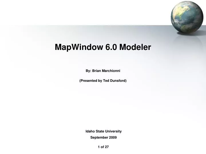
MapWindow 6.0 Modeler By: Brian Marchionni (Presented by Ted Dunsford). Idaho State University September 2009. Brian Marchionni. From Montreal Canada B.S. Computer Science M.S. GIS at ISU. Graduated!. Design Structure. MapWindow Modeler Architecture. MapWindow 6 Architecture.

E N D
MapWindow 6.0 Modeler By: Brian Marchionni (Presented by Ted Dunsford) Idaho State University September 2009
Brian Marchionni From Montreal Canada B.S. Computer Science M.S. GIS at ISU Graduated!
Design Structure MapWindow Modeler Architecture MapWindow 6 Architecture
Designing with Interfaces Skeleton for a class All classes implementing interface are interchangeable Easily allows third party developers to extend functionality
Calculate Areas Example • Step 1: Add Data
Select input and output This dialog is generated automatically based on the ITool.
Multiple Parameters Null Value Not OK Value OK
Tool Sources Direct Implementation of ITool interface Run-time generation of ITools using IToolProvider Wrapped non-native code Data conversion, interoperability Web services
Sample ITool Code /// <summary> /// A tool to generate IDW rasters from point data /// </summary> public class mwIDW : MapWindow.Tools.ITool { /// <summary> /// A UniqueName Identifying this Tool, if another tool with /// thesame UniqueName exists this tool will not be loaded /// </summary> string ITool.UniqueName { get { return ("MapWindow Inverse Distance Weighting"); }} /// <summary> /// Returns the name of the tool /// </summary> string ITool.Name { get { return ("IDW"); }} ... }
Existing GIS Modeling Env. • Scientific Workflow Models • OpenMI • STELLA • Kepler • Geospatial Workflow Models • Sextante • ESRI Model Builder • IDRISI Macro Modeler
Comparison Green is ArcGIS ModelBuilder, Purple is Sextante modeler and Blue MapWindow Modeler.
Set up Inputs & Outputs Double Click Set Inputs And Outputs
Steps Are Now Linked Click To Run
Thank you Questions?