Download
1 / 12
120 likes | 696 Vues
Utilizing High Resolution Topography in WRF-ARW and LAPS/STMAS with TopoGrabber. Brad Beechler Presented to the LAPS Workshop Tuesday, October 26 th , 2010. Motivation. Orography has a major and direct impact on the surface wind’s advection.

E N D
Utilizing High Resolution Topography in WRF-ARW and LAPS/STMAS with TopoGrabber Brad Beechler Presented to the LAPS Workshop Tuesday, October 26th, 2010
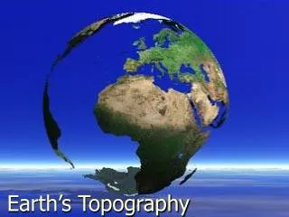
Motivation Orography has a major and direct impact on the surface wind’s advection. Orography also affects microphysical processes such as the release of latent heat and the formation of precipitation. For fire weather, regional severe storm, and accurate wind farming forecasts high resolution topography information is crucial. Future modeling efforts will expect access to this improved topography and land use data.
Description of TopoGrabber Includes: Topo_Grabber.py : A python GUI workflow wrapper. Topo_Grab.py : A command line program that downloads domain specific geotiff data from multiple online sources. GeoTiff2WPS.x : Converts geotiff data into raw WPS files. GeoTiff2CDF.x : Converts geotiff data into netCDF format. * Requires: Along with a C and Fortran compiler this package needs NetCDF library for C Python version 2.6 or higher lib_tiff library (included) lib_geotiff library (included) Environment variables pointing to the lib_geotifflibrarty example: export LD_LIBRARY_PATH="/home/you/src/lib_geotiff/lib" export LD_RUN_PATH="/home/you/src/lib_geotiff/lib”
Application to WRF Useage: 1: Create a directory under your geogrid data root called topo_1s (one second topography) 2: Replace or link your GEOGRID.TBL (located under the /WPS/geogriddirectory) with our GEOGRID.TBL.HRTOPO file. This will tell georgid that there is now a directory under its georgid data root called /topo_1s with your data in it. 3: Run the python program Topo_Grabber.py 4: Take the WPS raw files (eg 05001-05100.05201-05300) that were created and put them in your topo_1s directory under the geogrid data path (eg /bin/WPS/GEOG/topo_1s). 5: Run georgid.exe like normal.
Boulder Topography 1550m – 2035m
Boulder Land Use (different legends)
Mt. St. Helens Topography 550m – 2550m
Grand Canyon Topography 800m – 2180m
Future Work This 1/3 arc second (roughly 30m) data is currently being upgraded to 1/9 arc second resolution. This data is only available for the continental United States, Hawaii, Alaska, and Puerto Rico. Hopefully this will be expended soon. There are still major bugs in the land use ingestion function having to do with using different map geometries. There are minor bugs in the code that need to be addressed dealing with usability and portability. GeoTiff2CDF.x needs to be written (Ingest for LAPS/STMAS) We need to beta test this process, who wants to help?
Contact Info To get your own copy of TopoGrabber visit: http://laps.noaa.gov/topograbber/ You also can find the site by typing ‘topograbber’ into Google. Wesley S. Smith – wssmith@willamette.edu Brad E. Beechler – bbeechler@precisionwind.com