
Spatial Analysis Tools Overview
E N D
Presentation Transcript
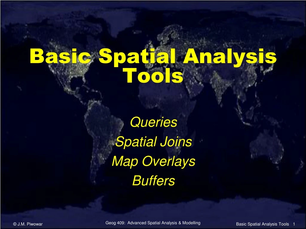
Basic Spatial Analysis Tools Queries Spatial Joins Map Overlays Buffers Basic Spatial Analysis Tools
Queries • Attribute Queries • Select spatial features based on attribute information. • e.g. Find all the Canadian cities with over 1 million inhabitants. • Spatial Queries • Select spatial features based on their location relationships. • e.g. Find all the Canadian cities within 100 km of the U.S. border. Basic Spatial Analysis Tools
Spatial Queries • Spatial queries in ArcGIS: • intersect … • are within a distance of … • completely contain … • are completely within … • have their centre in … • share a line segment with … • touch the boundary of … • are identical to … • are crossed by the outline of … • contain … • are contained by … Basic Spatial Analysis Tools
Spatial Joins • Joins spatial features based on their relative locations. • Attributes from the source layer are processed and added to the destination layer. Basic Spatial Analysis Tools
Spatial Joins • Simple Joins • An object in the source layer corresponds to one (or more) objects in the destination layer. • All the attributes from the source layer are appended to the destination layer. • e.g. To help understand the incidence of crime in a city, we might join the crime locations (points) to neighbourhoods (areas). Basic Spatial Analysis Tools
Spatial Joins • Distance Joins • Identifies the closest object in the source layer to selected object(s) in the destination layer. • All the attributes from the closest object, plus a distance field to show how close they are, are transferred to the selected object(s) in the destination layer. • e.g. Join the nearest prairie dog town to the Frenchman River. Davis, B.E., 2001. GIS: A Visual Approach (2nd ed.). Albany, NY: OnWord Press. Basic Spatial Analysis Tools
Spatial Joins • Summarized Joins • Identifies the closest object(s) in the source layer to selected object(s) in the destination layer. • The numeric attributes from the closest object(s) are summarized and transferred to the selected object(s) in the destination layer. • maximum, minimum, mean, standard deviation, average, etc. • e.g. What is the average population of the prairie dog towns within 1 km of the Frenchman River? Davis, B.E., 2001. GIS: A Visual Approach (2nd ed.). Albany, NY: OnWord Press. Basic Spatial Analysis Tools
Map Overlays • Combines spatially coincident features from different layers to create new features. Chrisman, 1997. Exploring Geographic Information Systems. New York : Wiley. Basic Spatial Analysis Tools
Map Overlay • Union Overlay • A resort is interested in buying new forest areas to extend the scenic forest drive. "Where are the forest areas OR areas within the resort?" Heywood et al., 1998. An Introduction to Geographical Information Systems. Prentice Hall Basic Spatial Analysis Tools
Map Overlay • Intersect Overlay • Where are the areas of forest within the resort area? Heywood et al., 1998. An Introduction to Geographical Information Systems. Prentice Hall Basic Spatial Analysis Tools
Map Overlay • Clip Overlay • What is the percentage of the resort area covered by forest? You need to first trim the forest cover to the polygon of the resort. Heywood et al., 1998. An Introduction to Geographical Information Systems. Prentice Hall Basic Spatial Analysis Tools
Map Overlay • ArcGIS Help: • Overlay analysis Basic Spatial Analysis Tools
Buffers • Creates areas by extending outward (or inward) a specified distance from point, line, or polygon features. Davis, B.E., 2001. GIS: A Visual Approach (2nd ed.). Albany, NY: OnWord Press. Basic Spatial Analysis Tools
Buffers • ArcGIS Help: • Buffer (Analysis) Basic Spatial Analysis Tools