Political Patterns
860 likes | 881 Vues
Explore the distribution of national territories, the impact of territorial shapes on countries, and the dynamics of political boundaries worldwide. From natural to ethnographic and geometric boundaries, delve into the complexities of political geography. Learn about enclave territories, exclave challenges, and the significance of buffer and satellite states.

Political Patterns
E N D
Presentation Transcript
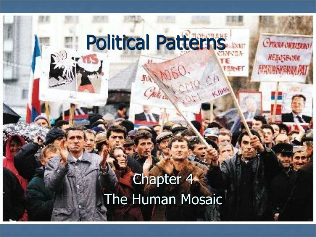
Political Patterns Chapter 4 The Human Mosaic
Culture Regions • Political culture regions • Political diffusion • Political ecology • Politico-cultural integration • Political landscapes
Independent countries • Earth’s surface is divided into some 190 independent countries • Scores of other provinces and districts enjoy some level of autonomy with being fully independent • The United States occupies about the same amount of territory as Europe, which has 46 independent countries • Australia is politically united • South America has 12 countries
Independent countries • Africa’s mainland has 47 independent entities • Territoriality: the tangible geographical expression of one of the most common human characteristics: to belong to a larger group that controls its own piece of Earth • Some political geographers believe territoriality is instinctive in humans • Fragmentation of humankind into independent countries is natural and unavoidable • It is a product of the animal part of our brain
Independent countries • Territorial imperative • Most political geographers believe territoriality is learned • Robert Sack believes it is a cultural strategy using power to control area thereby subjugating inhabitants and acquiring resources • Warns against uncritical borrowing of concepts from animal behaviorists • Precise border marking was a concept unique to Western culture • Others suggest a recent origin for nationalism of 150 to 500 years ago
Independent countries • Whether learned or instinctual, human territoriality is a geographical phenomenon • The sense of “we” springs from attachment to region and place
Distribution of national territory • As a rule, the more compact the territory the better • Theoretically, the most desirable shape for a country is round or hexagonal • Allow short communication lines • Minimizes amount of border to be defended • No country has this ideal degree of compactness • Some countries come close—France, Poland, Zaire, and Brazil
Distribution of national territory • Unfavorable territorial distributions can inhibit national cohesiveness • Enclave — district surround by a country but not ruled by it • Pene-enclave — an intrusive piece of territory with only the smallest of outlets free from the surround country
Distribution of national territory • Exclaves — Pieces of national territory separated from the main body of a country by the territory of another • Hard to defend • Isolated population may develop separatist feelings
A is Armenia C is Iran B is Azerbaijan a is Nagomo-Karabakh b is Nakhichevan Autonomous Republic c is Okibair Eskipara enclave d is Sofulu enclave e is Kyarki enclave f is Bashkend enclave
Distribution of national territory • Pakistan as an exclave in 1947 • Two parts were separated by 1,000 miles of India territory • West Pakistan had the capital, most of the territory, and hoarded the country’s wealth • East Pakistan had most the people and resources • Divided in 1973, East Pakistan became Bangladesh
Distribution of national territory • Long narrow “shoestring” countries such as Chile, Gambia, and Norway can be difficult to administer • Island nations such as Indonesia can cause problems — transportation, communication • Sea encouraged islanders to develop local allegiances in the former British Islands in the Caribbean
Boundaries • Until recently many boundaries were not sharp, clearly defined lines, but were zones called marchlands • Buffer state — independent but small and weak country lying between two powerful countries • Mongolia—lies between Russia and China • Nepal—lies between India and China • Satellite state -- a buffer state that falls under the domination of one of its powerful neighbors and loses much of its independence
Boundaries • Most modern boundaries are lines rather than zones • Natural boundaries — follow some feature of the natural landscape • Ethnographic boundaries — based on a culture trait often religion or language • Geometric boundaries — regular, often perfectly straight lines drawn without regard for physical or cultural features
Niagara Falls • Niagara River forms a natural boundary between Canada and the United States • This view is from Horseshoe Falls in the province of Ontario towards American Falls in the state of New York
Niagara Falls • Each year, millions of visitors travel across the bridge-border to enjoy the spectacular scenery. • Niagara Falls is an important element of Canada’s iconography.
Niagara Falls • The area became home to many loyalists from the American Revolution/War of Independence and was the site of Upper Canada’s first capital. • Decisive battles against American forces in the War of 1812 were also fought there
Boundaries • Some boundaries are of mixed type • Relic boundaries — no longer exist as international borders • Often leave behind a trace in local culture • Example of the reunification of Germany where different levels of prosperity still show between east and west • International borders can be very divisive
Spatial organization of territory • Independent countries differ greatly in the way their territory is organized for administration purposes • Unitary governments • Power is centrally concentrated • Little or no provincial authority • All major decisions come from the central government
Spatial organization of territory • Unitary governments • Policies are uniformly applied throughout the territory • China is unitary and totalitarian • France is unitary but democratic • Federal governments • A more geographically expressive system • Acknowledges the existence of regional cultural differences • Provides mechanism for allowing regions to perpetuate their individual character
Spatial organization of territory • Federal governments • Power is diffused, allowing much authority to individual provinces • The United States, Canada, Australia, and Switzerland exhibit varying degrees of federalism • Since the Civil War, the United States has leaned more toward a unitary government, with fewer states’ rights • In Canada, federalism remains vital and has helped accommodate French-Canadian demands • Today, Russia is striving to create a federal state
Spatial organization of territory • Native-American reservations in the United States • Semiautonomous enclave, legally sanctioned political territories only indigenous Americans can possess • Not sovereign, but do have certain self-government rights • Conflicts with other local authorities • Do not fit the normal American system of states
Centrifugal and centripetal forces • Centripetal forces — those forces that promote national unity and solidarity • Many nations have one principal force the fuels the nationalistic sentiment • For Israel it is the Jewish faith • Centrifugal forces — whatever disrupts internal order and encourages destruction of the country
Centrifugal and centripetal forces • How many independent countries should there be? • We live in a time of new country proliferation • Former Soviet Union disintegrated into 15 new countries • Yugoslavia became 5 • Czechoslovakia became 2 • Russia, Iraq, Peru, and others could also fragment
Supranational political bodies • Supranational organization — self-governing countries form international associations for purposes of trade, military assistance, or mutual security • Grew in number and importance during the twentieth century • Some represent vestiges of collapsed empires • British Commonwealth • French community • Commonwealth of Independent States (C.I.S.) — a shadow of the former Soviet Union
Supranational political bodies • The European Union seeks a widely based confederation • Arab League possess little cohesion • The United Nations is atop the pyramid of supranationals • Maintains peacekeeping and charitable functions • Invokes sanctions against “rogue” countries
Electoral geographical regions • When people vote in an election a political culture region is created • Revealed in the voting process are attitudes reflecting religion, ethnicity, sectionalism, and ideology • When mapped, voting tendencies over the decades reveal deep-rooted electoral behavior regions — Europe is a good example • Toward the center of Europe some districts and provinces have a long record of rightist sentiment • Peripheral areas, especially in the east, are often leftist strongholds
Electoral geographical regions • Electoral regions also exist in the United States and Canada • Daniel Elazar described three of these • Traditionalistic • Includes the Lower South, Hispanic borderland, and diverse Native American groups • Family and social class are more important than state or individual • Believe “best government is the least government” • Order is best maintained through religion and family, not law
Electoral geographical regions • Electoral regions also exist in the United States and Canada • Daniel Elazar described three of these • Moralistic • Found in a zone influenced by New England Yankee culture and Scandinavian settlers • Views government as means to achieve a good society • Public good comes before individual rights or benefits
Electoral geographical regions • Electoral regions also exist in the United States and Canada • Daniel Elazar described three of these • Individualistic • Seen as “dirty” — used to further personal, rather than societal interests • Lobbying and monetary contributions to politicians • In much of American heartland • Roots in the independent family farm and German-American culture
Functional electoral regions • Electoral geographers are concerned with functional culture regions • They often assist in redistricting after each United States census • New voting areas are established to try and equalize population • Geographers often assist in redistricting process • Pattern of voting precincts or districts can influence election results
Functional electoral regions • Problems arise if redistricting remains in hands of legislators instead of impartial experts • Majority political groups can arrange voting districts geographically to maximize their power • Cleavage lines crossed to create districts having majority of voters favoring group in power • Practice called gerrymandering — The next slide reveals resulting voting district shapes
Culture Regions • Political culture regions • Political diffusion • Political ecology • Politico-cultural integration • Political landscapes
Country building as diffusion • Some countries sprang full-grown into the world • Most countries diffused outward from a small nucleus called a core area
Country development from a core area • Generally possess an attractive set of resources for human life and culture • Often possesses some measure of natural defense that attracts people • Denser population may produce enough wealth to support a large army as a base for further expansion and relocation diffusion
Country development from a core area • During expansion, the core area usually remains the country’s most important district • Houses the capital city • Contains the cultural and economic heart of the country • Serves as the node of a functional culture region • France expanded to its present size from around Paris
Country development from a core area • During expansion, the core area usually remains the country’s most important district • China diffused from a nucleus in the northeast • Russia originated in the principality of Moscow • The United States grew westward from a core between Massachusetts and Virginia