Download
1 / 9
90 likes | 214 Vues
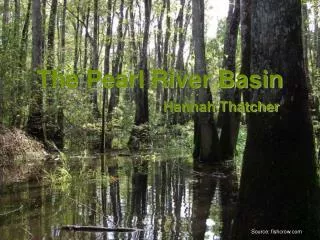
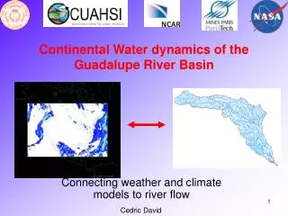
Continental Water dynamics of the Guadalupe River Basin. Connecting weather and climate models to river flow. Cedric David. RAPID ( R outing A pplication for P arallel computat I on of D ischarge). RAPID = River routing model

E N D
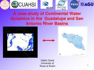
Continental Water dynamics of the Guadalupe River Basin Connecting weather and climate models to river flow Cedric David
RAPID (Routing Application for Parallel computatIon of Discharge) • RAPID = River routing model • High performance parallel computing on UT’s Lonestar supercomputer • For river networks • Gage measurements taken into account • Intended for large computations (macroscale) • Designed to allow accounting of • Groundwater inflow • Lateral inflow from runoff • Anthropogenic effects
Application in France RAPID coupled with SIM-France (atmospheric, land surface, groundwater model) Dam at Lake Geneva
Rhone river downstream of Pougny Forced model with gage measurments downstream of dam Pougny Beaucaire
Flow at Beaucaire Flow (m3/s) Number of time steps (3-hr)
Flow at Beaucaire Flow (m3/s) Number of time steps (3-hr)
NHDPlus – River and Catchment Network for the Nation 2.3 million river reaches and catchments Integration of the National Hydrography Dataset, National Elevation Dataset and National Land Cover Dataset just completed by EPA
Conclusions • Parallel computing • Large scale applications • Works with classic networks (like that of SIM-France) or GIS-based (NHDPlus, HydroSHEDS) • Some treatment for anthropogenic effects