Download
1 / 14
140 likes | 256 Vues
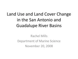
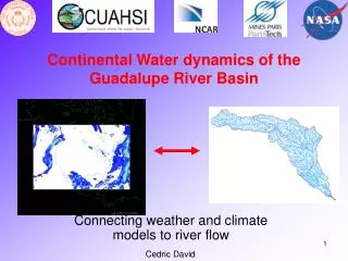
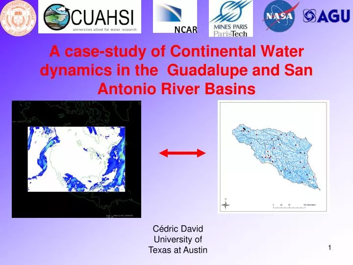
A case-study of Continental Water dynamics in the Guadalupe and San Antonio River Basins. Cédric David University of Texas at Austin. Continental Water Dynamics. Atmospheric Data (NARR+NEXRAD). Land Surface - Atmosphere Model (NOAH). Stream and River Flow Model. Last time we met.

E N D
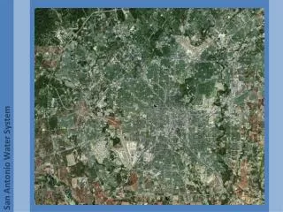
A case-study of Continental Water dynamics in the Guadalupe and San Antonio River Basins Cédric DavidUniversity of Texas at Austin
Continental Water Dynamics Atmospheric Data (NARR+NEXRAD) Land Surface - Atmosphere Model (NOAH) Stream and River Flow Model
Last time we met RAPID coupled with SIM-France (atmospheric, land surface, groundwater model) 24,264 river reaches 10-year simulation Streamflow Dam influence Bi-directional river/aquifer exchanges Operational at MeteoFrance cf. David and Habets (2009?), second manuscript in preparation
Transition to supercomputers Desktop computer Lonestar
Transition to NHDPlus Grid cell network of SIM-France Best available (1 km resolution) GIS Mapped rivers GIS-based river networks offer much better information than gridded networks
Coupling with Noah-UT (1) Catchment shape file converted to a 900m grid of catchments
Coupling with Noah-UT (2) Map of catchments Comid 1659595 1638214 … Inflow1 2.4 1.3 … Inflow 2 1.9 1.0 … … Runoff map Runoff is spatially averaged for catchments surrounding NHDPlus flow lines
Determination of wave celerities 15 min flow data
Current work on Texas Gulf 68,143 river reaches 711 flow gages
Conclusions • Adaptation of RAPID on the Lonestar supercomputer • Adaptation of RAPID to the NHDPlus framework • Coupling of RAPID with Noah-UT • Investigation of wave celerity • Run RAPID over Guadalupe and San Antonio River Basins • Missing water in Victoria? • Need to fix time shift