Download
1 / 12
120 likes | 233 Vues
South East European Climate Change Center (SEEVCCC). Digital Climate Atlas of the Carpathian Region. CG & GIS Lab: Igor Antolovi ć Vladan Mihajlović Dejan Ran čić. SEE VCCC : Dragan Mihić Vladimir Đurđević. 12th EMS Annual Meeting & 9th European

E N D
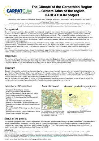
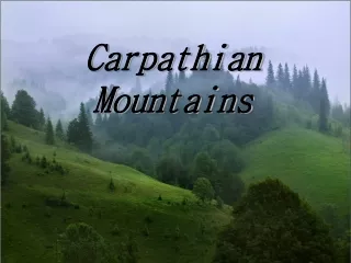
South East European Climate Change Center (SEEVCCC) Digital Climate Atlas of the Carpathian Region CG & GIS Lab: Igor Antolović Vladan Mihajlović Dejan Rančić SEEVCCC: Dragan Mihić Vladimir Đurđević 12th EMS Annual Meeting & 9th European Conference on Applied Climatology (ECAC) | 10 – 14 September 2012 | Łódź, Poland Republic Hydrometeorological service of Serbia
Content Introduction A WebGIS based solution Architecture Entry Point Digital Atlas components Gridded data export Metadata search Conclusion
Introduction The main idea behind the CARPATCLIM (Climate of the Carpathian Region) Project is to conduct a detailed analysis of the temporal and spatial structure of the climate of the Carpathian region, using unified methods. The main goal of the project is to construct the gridded climatological database for the region in a daily temporal resolution for the period 1961-2010 by using 0.1° spatial resolution for a number of meteorological variables. Considering the long period of time and the need to organize and visualize data for various climate variables and indicators it was necessary to design an efficient infrastructure and tools for proficient management of vast amount of climate data. All these requirements can be accomplished by introducing a WebGIS based solution
A WebGIS based solution The solution of this requirement as well as one of the final products of the CARPATCLIM project is a Digital Climate Atlas which is designed as the main entry point for all the gridded data and maps generated during the project, together with metadata for all data sets (original data as well as data created during the project). With respect to the INSPIRE (Infrastructure for Spatial Information in the Europe community) directive, the Digital Climate Atlas is developed as a rich Web GIS (Geographic Information System) application based on modern Web standards offering all necessary tools for climate data visualization and extraction. Additionally the main gain of using modern Web standards was the compatibility with all mayor web browsers thus making the process of Digital Climate Atlas installation a rather trivial task. In order to maximize compatibility the WebGIS solution is based on the HTML5 Technology
Architecture Server OS: Windows Server 2008 Web Server: IIS 7 Spatial Database: PosgreSQL CARPATCLIM Portal: HTML5 based Web Application The core of the architecture of the CARPATCLIM Digital Atlas relies on OGC based services (WMS (Web Map Service) and WFS (Web Feature Service))
Entry Point The CARPATCLIM Entry point provides easy access to all relevant features like Atlas, Metadata, etc.
Digital Atlas components Layer tree Options panel Toolbar Map View Navigation map
Time Period Based Selection The user can easily select data for any day in the period 1961 – 2010 !!!
Atlas components Selected data can easily be downloaded in a form of a ASCII file
Metadata search Search filter Search results Another important product of the CARPATCLIM project is the Metadata Catalog which is designed as a tool for searching of climate metadata by various parameters (i.e. period, variable, region etc.)The user can search through metadata by using a intuitive filter form. After that the user can further examine detailed metadata for each station in the results list.
Conclusion Combined, the Digital Climate Atlas and the Metadata Catalog make a powerful online utility which offers a free, fast and easy access to Carpath Climate data. The Digital Atlas is a WebGIS based solution which relies on the HTML5 technology. As a result the Digital Atlas has rich graphic capabilities and runs on all modern Web browser without the need for any kind of installation The user interface of the Digital Atlas WebGIS application is designed to be highly intuitive thus making it accesible and usable not only by experts but common users as well.