Download
1 / 6
60 likes | 247 Vues
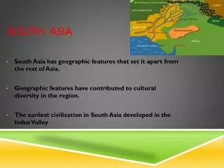
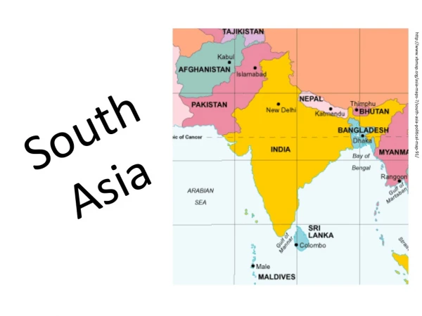
Digital Vulnerability Atlas of South Asia. Pushpendra Johari RMSI. Objectives. To integrate the available information on hazards and vulnerabilities of the countries of South Asia region

E N D
Digital Vulnerability Atlas of South Asia PushpendraJohari RMSI
Objectives • To integrate the available information on hazards and vulnerabilities of the countries of South Asia region • To create a framework to facilitate easy and reliable assessment and analysis of risks of disasters in South Asia • Imbed capabilities in the platform so that it could be kept up-to-date • Digital Vulnerability Atlas – an integral part of the South Asia Disaster Knowledge Network
Main Functionalities • DVA is an interactive web-based GIS mapping service with following functionalities: • Query by Location Very useful tool to perform real time analysis, e.g. identifying districts that are located within 100 km of epicenter • Query by Attribute Allows user to select features based on the attributes attached to it, e.g. user needs to identify the Humla district of Nepal • Map Creation Enables user to create and export map using maximum of 3 layers. • Search and HazardProfile Report Enables user to search and map any location and generate a comprehensive risk profile report
Advantages • Central resource of up-to-date information on Hazards and associated vulnerabilities for SAARC countries • Provides comprehensive Hazard Profile Reports for highest available administrative resolution (district and sub district) • Includes hazard Information for 7 major hazards – Earthquake, flood, landslide, heat wave, cold wave, cyclone, and tsunami • Presents vulnerability information for four major classes – Physical, Social, Human, and Economic • Supports Google Maps for better visualization • Based on open source GIS platform