Download
1 / 33
330 likes | 460 Vues
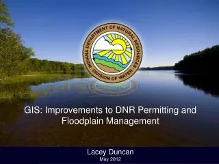
GIS: Improvements to DNR Permitting and Floodplain Management Lacey Duncan May 2012. Improvements in 2011. DNR Permitting – Public Freshwater Lakes Floodplain Analysis / Regulatory Assessment (FARA) Maps LiDAR/Orthoimagery Availability. Public Freshwater Lake Permits.

E N D
GIS: Improvements to DNR Permitting and Floodplain Management Lacey Duncan May 2012
Improvements in 2011 • DNR Permitting – Public Freshwater Lakes • Floodplain Analysis / Regulatory Assessment (FARA) Maps • LiDAR/Orthoimagery Availability
Public Freshwater Lake Permits IC 14-26-2 Lake Preservation Act *Underwater Beaches **Seawalls Dredging Boatwells Group Piers Fish Attractors Aerators *Shoreline classification required **Shoreline delineation and classification required
Inspection Reduction • Rule Changes • Improved research capabilities • Triage • Overall Development on PFL • 2000 • 1999 2005
Transfer of Inspections to Central Office 2000-2010 1 field inspector 2011 8 inspectors Creation of 3 Regions
Total Public Freshwater Lake Permits Region 3 Region 2 Region 1
Old Method of Shoreline Delineation • Triangulate every measurement • Required 3 measurements for 1 shoreline break • Final sketch skewed without compass • IntelliCAD 2000
Lake Inspection Need • Efficient data collection prior to inspection • Decrease time in field • Little commitment in office upon return • Keep re-inspections to a minimum • Improved quality product for customer
Inspection Preparation • Prepare lake sketch • Identify 250’ range for site • Locate staff gage and legal lake level data • Research relevant permits • Shoreline Classification • Permitted Seawalls • Unresolved Violations
Inspection Preparation Permit Application
Inspection Preparation Using routefinder 9:31 Total Travel Time 5:45 Drive Time
Long Lake Sketch West East
Floodplain Analysis and Regulatory Assessment (FARA) A thorough approach to the response letter • Connect the FARA to the legend in the map • Address floodway and flood insurance • Electronic signatures • Emailed Response
The Driving Forces Electronic Submittals New Floodplain Mapping April 2012 32 Counties March 2011 11 Counties
Development of the .mxd • Getting the Shapefiles • Published Special Flood Hazard Area • Preliminary Special Flood Hazard Area • Ohio River Floodway • Improving the Process • Using the DFIRM Political Areas to determine local Floodplain Administrator • Developing the map language
DNR Floodplain Map Zone AE/Floodway
DNR Floodplain Map Zone A
2011 LiDAR and Orthoimagery • New Imagery for DNR Floodplain Map and Lake Sketches • Increasing Hydraulic Ratings 2005 2011
3D Analyst 2011
Improving the Accuracy of the FARA 2011 2005
Increasing Elevation Determinations Total Number Year
Lacey Duncan lduncan@dnr.in.gov