Download
1 / 26
270 likes | 517 Vues
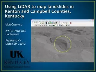
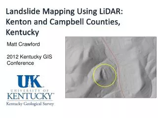
Landslide Mapping Using LiDAR : Kenton and Campbell Counties, Kentucky. Matt Crawford 2012 Kentucky GIS Conference. Kentucky landslide locations. Kenton and Campbell Counties, KY. Cincinnati. Ohio River. The problem.

E N D
Landslide Mapping Using LiDAR: Kenton and Campbell Counties, Kentucky Matt Crawford 2012 Kentucky GIS Conference
Kenton and Campbell Counties, KY Cincinnati Ohio River
The problem Natural geology, topography, and decades of slope modification make Kenton and Campbell Counties susceptible to landslides. • Example costs: • 71 landslide geotechnical reports from KYTC…unknown cost, 1970-present • 57 landslides located from other sources • April-May 2011 storms cost KYTC District 6 over $4 million • FEMA is about to submit a letter of intent for a 2.5 million dollar stabilization project in Bellevue, Ky. Campbell Co. involving 30 homes.
Landslide types and geology From the Newport and Withamsville quadrangle by Gibbons (1973): “The shale of the Kope Formation slumps readily when wet. Structures built on the Kope should be provided with adequate drainage and oversteepened slopes should be avoided.” From the Newport and Withamsville quadrangle by Gibbons (1973): From Potter, 1996
Kenton and Campbell Co., landslides Creep and generations of failure
The project: Landslide mapping using Light Detection and Ranging (LiDAR) • Purpose: develop a methodology using LiDAR data in the geologic setting of Kenton and Campbell Co. and to document landslides • LiDAR flown in 2007. Data provided by the NKAPC (1m) • Completed March 2011, grant from the USGS Landslides Hazards Program
Methodology • Used Applied Imagery’s Quick Terrain Modeler to create bare earth hillshade DEM’s from the LAS files • Add DEM’s to ArcMap for visualization, spatial analysis, and digitization • Systematic panning looking for • Hummocky surface • Steep scarp, flanks • Thick toe • Concavity • Reexamined potential landslides in QTM • Field checking
Example: LiDAR derived hillshade DEM with contours 455 ft. Mapped landslide
Example: LiDAR derived hillshade DEM without contours 750 ft. Mapped landslide
Example: LiDAR derived hillshade DEM with contours 282 ft. Mapped landslide
Example: potential landslide identified on LiDAR derived hillshade DEM. Azimuth and sun angle at 45o
Three-dimensional view of the same landslide in Quick Terrain Modeler. Changing the sun angle and azimuth can make the scarp and flanks stand out. The image was rotated in 3D and the azimuth was changed to 225°.
Other useful data sets • Topographic contours • 1:24,000-scale geology • Slope • Leaf-off aerial photography • Roads • Bing!
Results • 230 potential landslide extents digitized (polys) • Approximately 10% were initially attributed with high confidence, rest were questionable • 45 landslides (approx. 40%) of landslides were field checked • 20 were confirmed • 18 were likely or observed but could not be determined • 7 were not accessible
Why is this important? Preexisting slides as indications of subsequent failure 3 separate incidences of failure after slope was mapped with landslide from LiDAR!!!!
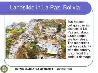
Mudslide/debris flow in Bellevue, KY. Campbell Co. December 2011
Future work • As more LiDAR becomes available numerous landslide hazard projects can be considered. • Formalize and add to landslide inventory database • Create landslide inventory maps>>>>help reduce landslide risk!! KY LiDAR acquisition
Conclusions • Project successfully used LiDAR for identifying potential landslide extents in Kenton and Campbell Counties • Able to map slides in areas not accessible by roads. • Urbanization made visualization difficult and probably masked many other existing slides • Project was limited by time and ability to field check landslides • Mapping preexisting landslides is an indication of areas susceptible to future slope failure. • As Kentucky acquires more LiDAR, similar projects will be very beneficial in other landslide prone parts of the state.
Thank you! Matt Crawford mcrawford@uky.edu http://kgs.uky.edu/kgsweb/findpubsmain.asp Report -