Download
1 / 15
150 likes | 266 Vues
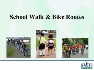
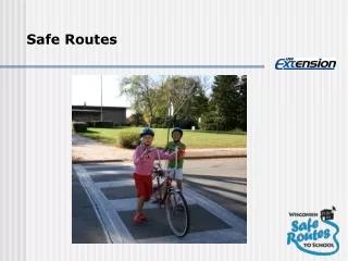
Bike Routes and Pedestrian Routes. Bike Route Goals. Create a safe route through the city Connecting parks, schools, and subdivisions Raise awareness of current trails G ain citizens support for trails in the future Low cost to implement and maintain. Involvement.

E N D
Bike Route Goals • Create a safe route through the city • Connecting parks, schools, and subdivisions • Raise awareness of current trails • Gain citizens support for trails in the future • Low cost to implement and maintain
Involvement • Bear River Association of Governments (BRAG) • Inventory • Maps • County • Helped show where current county routes are • City Staff
Inventory • Looked to see what we have in place and the state of the roads • Drove through the city and looked for best routes • Looked at BRAG suggestions’
Analysis and Site Selection • Compared Road Features • Safety • Current Use • Connectivity.
Proposed Routes • Heritage Loop • Connects the whole city, most the parks, and the schools. • 6 mile loop • Nibley City 5K • Route that starts at Heritage Park and is 3.1 miles (5 kilometers) long
Implementation • Marking routes with signs • Published on website and in pamphlets • Map sign at Heritage Park • Adding bike racks at Nibley City Park and at Heritage Park • Bench at Clear Creek Park
Budget • Signs • 24x $150=$3600 (Estimated). • Racks • 2x $900= $1800 • Bench • $100 • Pamphlet and Map design • Free • Estimated Total = $5500
Publication • Online • BRAG will help create a map • Done by April 2nd • Bicycle safety guide. • News Letter and Pamphlets
Safety Tips • Salt Lake City Website • We have permission to use their 5 safety tips • http://www.bikeslc.com/GetBiking/BicyclingBasics/Top5SafetyTips.html
Future Routes • Continue to follow the Parks and Trails Master Plan and the Transportation Plan. • 2600 South. • If a light does get put in on SR 165/2600 South, it would be the best corridor in and out of the city for bikes and pedestrians.