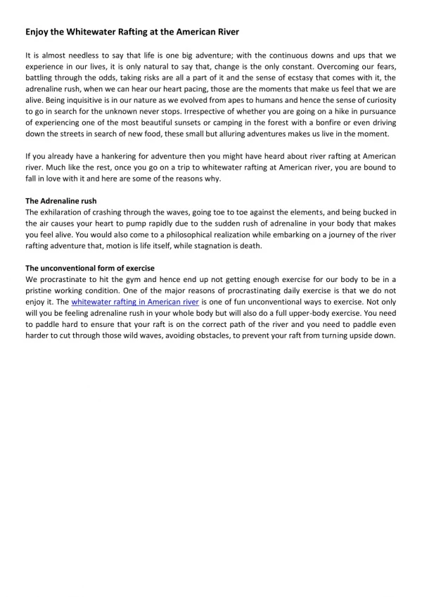
Download
1 / 9
90 likes | 237 Vues
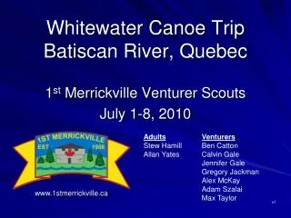
Whitewater Canoe Trip Batiscan River, Quebec. 1 st Merrickville Venturer Scouts July 1-8, 2010. Adults Venturers Stew Hamill Ben Catton Allan Yates Calvin Gale Jennifer Gale Gregory Jackman Alex McKay Adam Szalai Max Taylor. www.1stmerrickville.ca. v1. River Location. Itinerary

E N D
Whitewater Canoe TripBatiscan River, Quebec 1st Merrickville Venturer Scouts July 1-8, 2010 AdultsVenturers Stew Hamill Ben Catton Allan Yates Calvin Gale Jennifer Gale Gregory Jackman Alex McKay Adam Szalai Max Taylor www.1stmerrickville.ca v1
River Location Itinerary Drive from Merrickville to Joliette (3-4 hours). Camp overnight at Joliette campground. Train from Joliette to Pearl Lake (4-5 hours). Canoe from Pearl Lake to Rousseau (5 days). Train from Rousseau to Joliette. Drive from Joliette to Merrickville.
Route Overview • Planned and actual campsites shown. • Due to low water levels and thus slow progress, the initial campsites were much closer together. • We caught up with our plan by the end of the week.
Batiscan River Statistics • Total river length 85 km (km 170 to km 85) • Total rapid length 17 km (20% of the river) • Total mandatory portage length 300 m • Number of mandatory portages 1 • Rapids ClassNumberTotal LengthLièvre Noire I 28 6,566m 30 - 3,529m 26 - 1,852m II 25 5,943m 34 - 6,824m 20 - 2,375m III 18 3,396m 22 - 7,353m 4 - 345m IV 2 283m 9 - 1,941m V 1 50m • Portages km 110 300m Mandatory, LV • Lining Several optional; depending on water level and participant skill level.
River Safety Course Added based on post-mortem of previous years canoe trip One day at Palmers Rapids. Professional swift water rescue instructor. Syllabus: Recognising and avoiding dangers (e.g. strainers, sweepers, ledges, holes). Avoiding a strainer (e.g. aggressive swim launch). How to get out of a hole. Circulation, lack of buoyancy. Throw bag throwing. Throw bag receiving. Avoiding pinning/wrapping a canoe when broadside on a rock. Foot entrapment, avoiding and rescue. Rapid swimming (aggressive and passive). How to avoid getting trapped in a canoe, how to extricate oneself, rescue knife usage. Lining canoes safely. Live bait rescue. V Lowers. Very effective; the Venturers were much more comfortable in the water during the trip.
General Notes • Put-in points • Pearl Lake for the full trip. • Jacques-Cartier Club and Miquick for shorter trips. • Campsites • While reportedly many campsites shown on the map do not exist, we found every one we looked for. • Lots of trees and deadfall for firewood. • Sites were generally quite large and well maintained. • Maps • Utilise the map from Charles Leduc, www.cartespleinair.com • All rapids and most campsites are accurately marked. • Access • While road access to the put-in exists, access by train is so much easier (and more fun!). • Wilderness Feel • No other paddlers or campers encountered. • Quite a few camps and hunting stands on the sides of the river. • Biting Insects • Lots of black flies and some sand flies at the top half, few flies at the bottom half. • Screen dining shelter appreciated. • No good jumping rocks found. • One bridge found for jumping; not that high though and water too shallow. • We had an odd number of people so we brought a creek kayak (sourced through Paddle Shack). • We took a whitewater kayak play boat along. • Well enjoyed. • A lot of the time somebody had to solo a canoe down a rapid so somebody else could take the kayak down. • Heat wave hit is so the kids spent a lot of time playing in the water at the campsites; best was campsite at km 88. • On the last night, some of the kids hiked to the take out to try and find some food as we had run out! • Baked cookies, brownies, and black forest cake. • Very lower water level actually more difficult; much easier to pin canoes; 3-5 pins in total.
Finances • Total cost for the trip was $2,097 for two adults and seven Venturers. Major items: Food $636 Transportation (mileage) $288 Two trucks ($0.25 & $0.30/km) Creek kayak rental $163 Train $668 $42/Venturer; canoes same cost Camping in Wildlife Reserve $109 $8.25/adult/night, $4/child/night Camping at Joliette $39 Fireworks $138 Canada Day! • 640km round trip driving from Merrickville. • Creek kayak rented as we had an odd number of people. • Cost per Venturer was $325. • Leaders didn’t pay; they gave up a weeks holiday. • 47 page trip plan and report available on our website.
Water Level Multiply water level shown by 0.75 to get water level referenced in documents. River is most difficult around 70-80, and at 100 few rocks remain (after above factor). www.cehq.gouv.qc.ca/suivihydro/graphique.asp?NoStation=050304