Download
1 / 20
200 likes | 337 Vues
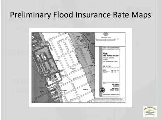
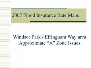
2007 Flood Insurance Rate Maps. Windsor Park / Effingham Way area Approximate “A” Zone Issues. Windsor Park/ Effingham Issue. A new “A Zone” has been identified for this area An “A Zone” is a Flood Zone with no published Base Flood Elevation (Flood Stage)

E N D
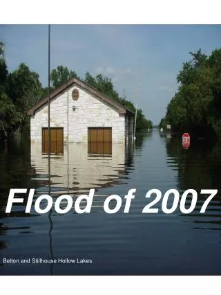
2007 Flood Insurance Rate Maps Windsor Park / Effingham Way area Approximate “A” Zone Issues
Windsor Park/ Effingham Issue • A new “A Zone” has been identified for this area • An “A Zone” is a Flood Zone with no published Base Flood Elevation (Flood Stage) • Area residents have been required to obtain Flood Insurance by their mortgage companies • Maps may not reflect the actual likelihood of flooding in this area
Map Modernization in GA • In 1999, the State of Georgia entered into a partnership with FEMA Region IV • Georgia DNR assumed responsibility for digital floodplain mapping for all 159 counties by 2009 • FEMA provides funding for this initiative on a year-to-year basis
Map Modernization in Columbus • Previous Flood Insurance Study and maps were effective from May 3, 1993 until September 4, 2007 • “Flood Zones” were drawn using 10-ft contour USGS Quadrangle maps • Several unstudied “A” zones appeared in developing areas
Map Modernization Timeline • April 10, 2006 – Received Preliminary FIS and FIRMs • May 23, 2006 – Public Meeting at the Government Center Annex, GaDNR and PBS&J in attendance, start of comment period • September 5, 2007 – FIS and FIRMs are effective
Map Improvements 2007 vs. 1993 • Portions of Heiferhorn, Roaring Branch and Flat Rock Creeks were redrawn using better topography • A Limited Detail Study was performed on Lindsay Creek East Branch • Aerial Photography serves as the background on all maps • Information in GIS format
East Lindsay Branch Limited Detail Study • Purpose was to provide the Community with “Better Data” with which the floodplain could be more accurately managed • Engineering modeling was performed using the 2-ft topography provided by CCG as well as the field validation of culverts
Lindsay Creek East Branch Limited Detail Study (cont.) • Engineers did not incorporate the Spillway of the Lake Heath Dam into the model • The model considered the dam to be a wall, or weir, of consistent height • An advisory or approximate Base Flood Elevation of 392.4 was determined • The 392.4 contour was mapped and new Approximate A Zone defined.
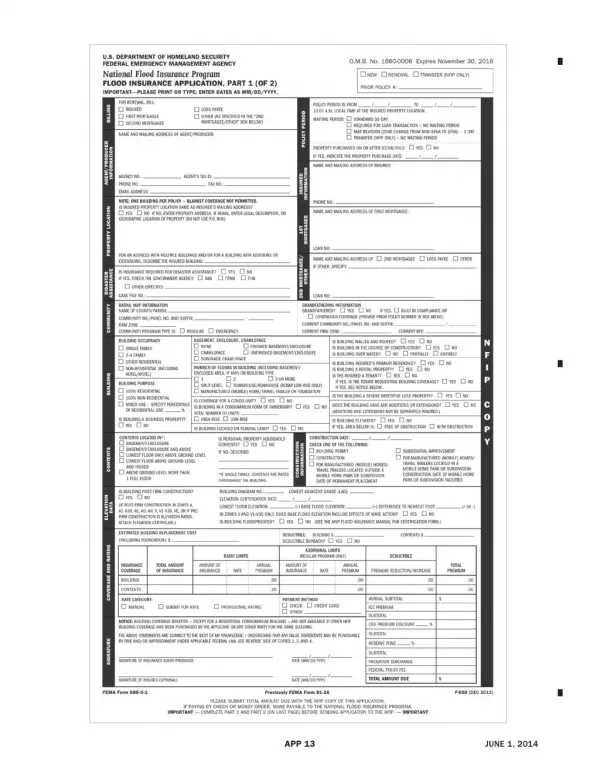
Flood Insurance • Residents have been receiving 45-day notices from their mortgage companies • Mandatory Purchase Requirement if structure (with active mortgage) is in the “Flood Zone” • Most residents qualify for Pre-FIRM rates (subsidized)
Flood Insurance (cont.) • Premiums are based on: • Rating (from Elevation Certificate) • Amount of Insurance for Structure • Deductible • Contents Coverage • Zone • Pre-FIRM or Post-FIRM • Premiums are normally placed in escrow
Letters of Map Amendment • Letters of Map Amendment (LOMAs) are documents that remove structures or defined parcels of land from the Flood Zone • Two Types • LOMA - Out as Shown • LOMA – Normal (Requires Elevation Certificate) • Elevation Certificates are completed by either a Registered Land Surveyor or Professional Engineer
CCG Responses to Date • Week of October 8th – Citizens in the newly defined “A” Zone begin receiving letters from their mortgage companies and begin calling CCG for assistance • Three Conference Calls with FEMA, PBS&J and GaDNR • Two direct mailings to the affected communities
Options • FEMA and GaDNR concur that a Full Detail Study will be required to revise the three Flood Maps affected
Option 1 • Continue to use current (2007) Flood Insurance Rate Maps • Panels 0024F, 0025F & 0037F • Residents with active mortgages will obtain Flood Insurance as required
Option 2 • Have a Full Detail Study completed for this area • Process will require a two-phased approach • Existing Conditions • Conditions after Effingham Way Project is complete • PBS&J is able to supplement the initial work performed with additional surveying, field verification and modeling • Estimated Cost - $30-40 thousand dollars
Recommendation • Authorize the Department of Engineering to enter into a contract with PBS&J as a “sole-source” to perform the Full Detail Study • Sign a contract by year’s end to insure that the surveying, modeling, technical review by FEMA and issuance of the Letter of Map Revision all occur prior to September 5, 2008
Rationale • A more Representative flood model and map for this area • Validate or invalidate three current (2007) Flood Map Panels • If a LOMA or LOMR is obtained within this first Policy Year, residents that obtain Insurance for themselves will be eligible for a Full Refund of the Premiums they have paid in • If forced-placed on their mortgage by the lender, those residents will be eligible for a pro-rated refund
Summary • A new “A Zone” has been identified for this area that may or may not reflect the actual likelihood of flooding • Area residents have been required to obtain Flood Insurance by their mortgage companies • Full Detail Study will supercede Limited Detail Study
2007 Flood Insurance Rate Maps Questions?