Close Range Photogrammetry
Close Range Photogrammetry. Chris Hart CEE498 Experimental Methods. Outline. What is photogrammetry? Types of photogrammetry How it works! Necessary equipment PhotoModeler (Photogrammetry software) Civil engineering applications Accuracy of close range photogrammetry

Close Range Photogrammetry
E N D
Presentation Transcript
Close Range Photogrammetry Chris Hart CEE498 Experimental Methods
Outline • What is photogrammetry? • Types of photogrammetry • How it works! • Necessary equipment • PhotoModeler (Photogrammetry software) • Civil engineering applications • Accuracy of close range photogrammetry • Conclusions and Challenges
What is photogrammetry? • Photogrammetry – A remote sensing technology whereby geometric properties about objects are determined from photographic images • The fundamental principle behind photogrammetry is triangulation • Two Parts • Photography – Photographic principles are required to gather images • Metrology - Techniques used to produce 3-dimensional coordinates from two-dimensional photographs.
Types of Photogrammetry Aerial Photogrammetry Close Range Photogrammetry
Equipment • Digital Camera • High resolution camera (preferred > 7 MP) • Lens/Camera have been calibrated • Targets • Retro-reflective targets • Coded targets preferred • Circular targets • Hard-body tooling targets • Software • PhotoModeler • There are many other software packages which may include specific applications
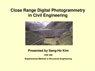
Civil Engineering Applications • 3D coordinate information about a test setup • NEES Wall Project • 3D surface rendering for FEM modeling (NURBS surfaces and curves) • Precise measuring of 3D points in space for measuring relative strains/displacements (Still being developed, but promising)
PhotoModeler • Has ability for sub-pixel marking • High contrast circular targets can be more accurately targeted • Programmability: Use a DDE (Dynamic Data Exchange) interface to control certain functions in PhotoModeler and to have data fed in through other Windows applications such as MatLab! • PhotoModeler Video (PMV)
Conclusions and Challenges • Powerful tool for gathering full field 3D coordinate (non-contact) information about an object or test structure • Cheap compared to advanced real-time full field measurement systems such as Krypton • Requires a lot of user knowledge and experience • Post processing is not fully automated and time consuming
Links and Questions • American Society of Photogrammetry and Remote Sensing • http://www.asprs.org • International Society of Photogrammetry and Remote Sensing • http://www.isprs.org/ • PhotoModeler • http://www.photomodeler.com