Download
1 / 25
250 likes | 452 Vues
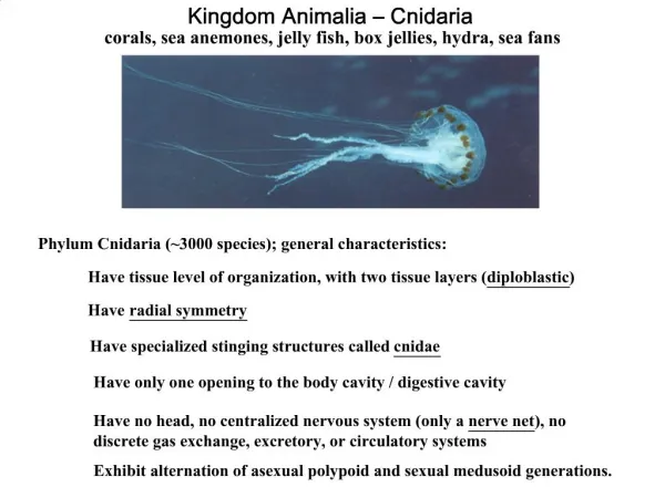
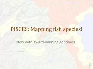
PISCES: Mapping fish species!. Now with award-winning goodness!. Review of PISCES. PISCES is software that standardizes, maps, and helps us analyze the distribution of fish species in California based on watershed units. PISCES records: a species, in a watershed, at a time,

E N D
PISCES: Mapping fish species! Now with award-winning goodness!
Review of PISCES PISCES is software that standardizes, maps, and helps us analyze the distribution of fish species in California based on watershed units. PISCES records: a species, in a watershed, at a time, with a qualifier, attributed to a source and source data and with appropriate metadata Along with related information PISCES automatically generates appropriate rangemaps that layer multiple data types for all taxa with minimal configuration. Through basic plugins, PISCES generates complex maps that relate biological, climatic, and spatial variables.
System Design Data Importer Mapper Normalizes Data, Tracks It, and Determines Relevant Attributes Processes Data and Generates Varieties of Custom Maps Editable Map Documents (mxds) Database Input Filter Data Data Data Input Filter Plugins Reports Cached Distributions Maps
What can we do? • Standardize data • Store metadata of our own and of PISCES’s determination • Trace data back • Generate large numbers of maps with varying data and extents very quickly. • Ask powerful questions easily and get the results as a set of maps.
New(!!) since last time • We are now able to add and edit data live in ArcMap – previously only importing existing data. • Won 2nd place for software integration at 2011 ESRI User Conference (field size > 2). • Delivered draft distributions of sensitive species • Refined mapping and interaction tools • All code and data under version control
Some PISCES stats • 4600+lines of Python code wrapped around ArcGIS, Microsoft Access, and various libraries • Refined distributions for 50+ taxa with historic, current, observed, and translocated populations. • Tracking data for 200+ taxa • 300,000+ data points (266,000 active) • 184+ imported datasets (and many more waiting) – incl. CNDDB, BIOS, and others
Modeling Species Presence • Standardizing multiyear (BCM) climatic and species data to HUC 12 units. • Eg: Road density, Jan/Jul Rainfall, Snowpack • Also using Kiernan vulnerability matrix • We can then join this data with the existing PISCES data as maps, tables, etc to inform possible future scenarios • To PISCES, modeled results are another form of presence
The Deep Dive • What follows is an older presentation that goes deeper into the technology behind this software. It is missing some new features, but covers the core
What is PISCES? Software that standardizes, maps, and helps us analyze the distribution of fish species in California based on watershed units. • Extensible: handles multiple • data formats • map setups • “questions” • Powerful: correlated information about species and zones allows for in depth analysis via maps and reports Approach
What are we hoping to know? ? Leads to… Approach
{} Parameters • Mapping Unit: HUC12s– A hierarchical set of watershed boundaries. HUC12s are the most granular. • Flexible • Extent: Forest Service Lands, Statewide • Species: Native fish, other aquatic species • Abstract and Wait: Code in power where we need it, and be ready to code more where new needs arise. Approach
Tools and Data • ArcGIS and ArcPy: Provide interfaces to handle spatial data • MS Access: Data storage and reporting • Python: The glue that makes everything happen • Data: Mostly USFS; Moyle and Randall 1998; Moyle and Katz 2011; and assorted others. Approach
Understanding Everyone’s Data • Data comes in many formats • Tabular (think Excel) • Geospatial (think GIS) • Data comes in many styles • Different data storage philosophies and systems • Need a system that can handle any data • Hybrid/cascading approach to this Methods
Input Filters! • Think of them as interpreters. They take data in one form and translate it into HUCs. • Make assumptions that data will be tabular, spatial, or both • Start with the most generic import code and scale up to more specific forms from there. Input Filter Data Data Data Input Filter Plugins Methods
Standardizing Data Traceable – find the source dataset and in many cases, the actual observation of any piece of data Each piece of data is assigned: Need to do quite a bit to determine these things • An Observation Set • Certainty • Observation Type • Observer • Survey Method • Date • Flexible “Other Data” • Processing Code • A species! Methods
Data Products • Saved distribution layers for each species (or other variable) • Quick use to load into another map Editable Map Documents (mxds) • Editable map documents for each map • PDF and PNG format maps for each fish and forest Database Plugins Cached Distributions Maps Methods
Mapping It’s about asking the right question and then selecting the right options • The basic question: select distinct Zone_ID from Observations where Species_ID = ? Where Presence_Type = [1,2,3,4,5], etc • POWER: • Templates • Iterators and groups • Callbacks (followup) Methods
Reporting • Qualitative information about each species provided in conjunction with results and maps from PISCES. Database • Uses Access’ native reporting capabilities • Work in progress Reports Methods
Results • Currently: Range maps for 108 taxa in multiple formats and broken out by forest • Multiple species richness maps • Basic reports of species presence on a per-forest basis Results and Analysis
Analysis • Richness maps are the first step • Tons of potential here for HUC level analysis • Predictions • Correlations • Impact Assessment • Uniqueness/Spatial Assessments • Prioritization Results and Analysis