Download
1 / 13
130 likes | 228 Vues
Stay informed with the latest weather updates on Tropical Storm Isaac. Find out about wind forecasts, storm tides, rainfall expectations, and tornado threats in Southeast Louisiana and coastal Mississippi.

E N D
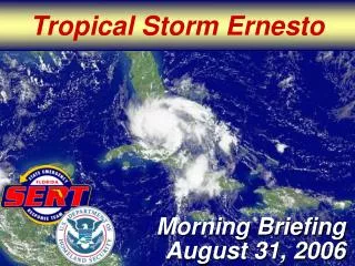
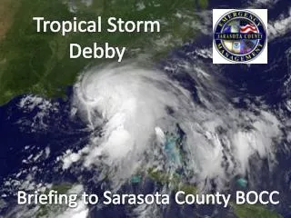
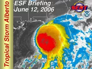
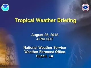
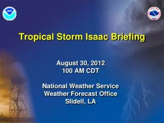
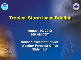
Tropical Storm Isaac Briefing August 30, 2012 100 AM CDT National Weather Service Weather Forecast Office Slidell, LA
Wind Impacts • Winds gradually decreasing from east to west beginning late this evening
Storm Tide Levels MS Coast: Tide levels were receding this evening and should continue to do so. SE LA Coast: Tide levels will begin to recede slowly overnight. Lake Pontchartrain/Maurepas: Tides 5 to 8 feet to remain at these elevated levels overnight before receding slowly later today. Positive anomaly tide levels will continue into the weekend.
Summary • TROPICAL STORM WARNING is in effect for all of SE Louisiana and SW and coastal MS • All of southeast LA and southern/coastal MS will continue to be affected by this storm. • Strong winds will begin to subside late this evening and overnight tonight • Storm tides will remain steady or fall slightly through tonight on the open coast and remain elevated in Lakes Pontchartrain and Maurepas before beginning to recede slowly Thursday • Unofficial reports of up to 22 inches of rain have been recorded so far in isolated areas. Widespread significant street flooding is occurring across many areas. Heavy rain will continue through tonight and additional flash flooding is expected across the area.
Next Update • Emails with updated slides will be sent following each advisory. • Next conference call will be 2 PM CDT today.
Contact Information • Don’t hesitate to call or email us with any questions • (985) 649–0429, (985) 645-0357 • Extension 4 to speak to a forecaster • NWS Chat • If you don’t use software(i.e. pidgin) please log into NWSCHAT live • https://nwschat.weather.gov/live/ • This helps bypass the third party security issues and runs in your web browser • E-mail: SR-LIX.Forecasters@noaa.gov • http://www.srh.noaa.gov/lix/?n=embrief2 • http://www.facebook.com/US.NationalWeatherService.NewOrleans.gov#!/US.NationalWeatherService.NewOrleans.gov • Follow us on Twitter: @NWSNewOrleans