Download

1 / 9
90 likes | 93 Vues
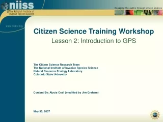
Citizen Science Training Workshop Lesson 2: Introduction to GPS. The Citizen Science Research Team The National Institute of Invasive Species Science Natural Resource Ecology Laboratory Colorado State University. Content By: Alycia Crall (modified by Jim Graham). May 30, 2007. Definitions.

E N D
Citizen Science Training Workshop Lesson 2: Introduction to GPS The Citizen Science Research Team The National Institute of Invasive Species Science Natural Resource Ecology Laboratory Colorado State University Content By: Alycia Crall (modified by Jim Graham) May 30, 2007
Definitions • Global Positioning System (GPS) • hand-held receiver • determines position (geographic, UTM)
How does GPS work? • Utilizes a network of 24 satellites that transmit precise microwave signals • enables a GPS receiver to determine its location, speed and direction
How do GPS units work? Satellite 1 Location Receiver Location Every point on circle is a possible receiver location Receiver Location?
How do GPS units work? Satellite 2 Location Satellite 1 Location ? ?
How do GPS units work? Satellite 2 Location Satellite 1 Location Known Receiver Location Satellite 3 Location
GPS Data Uses • Navigation • Where am I? • How do I get from point x to point y? • Mapping • Define a point (e.g., campground, plot location) • Define a line (e.g., hiking trail, river) • Define a polygon (e.g., lake, area covered by weed) Line Polygon Point
Example: Universal Tranverse Mercator Where does the point lie? Answer: 4,696,750 meters north (Northing) 471,800 meters east (Easting)