Download
1 / 18
190 likes | 289 Vues
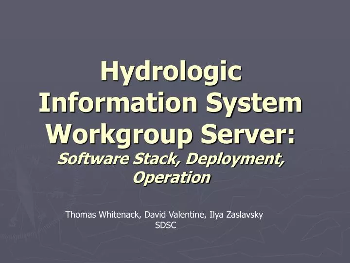
Hydrologic Information System Workgroup Server: Software Stack, Deployment, Operation. Thomas Whitenack, David Valentine, Ilya Zaslavsky SDSC. WATERS Network Information System. HIS Team. WATERS Testbeds. This Presentation. Slides Deployment overview

E N D
Hydrologic Information System Workgroup Server: Software Stack, Deployment, Operation Thomas Whitenack, David Valentine, Ilya Zaslavsky SDSC
WATERS Network Information System HIS Team WATERS Testbeds
This Presentation • Slides • Deployment overview • Content of the server: COTS + HIS software • Registering your observation networks • Server administration and updates • Current status, and licensing • Workgroup server demonstration • Q&A
Deployment Overview • HIS Server Machines are staged at SDSC • Base software components installed (Microsoft, ESRI) • All HIS components installed: • ODM • Web Services and templates • DASH = Data Access System for Hydrology • + additional tools • Servers can be accessed remotely, before shipped to testbeds
COTS Software HIS Applications Data Windows 2003 Server 4 GB Ram 500 GB Disk Quad Core CPU SQLServer 2005 IIS (Internet Information Server) Visual Studio 2005 NWIS DV ArcGIS Server DASH ODM tools NWIS IID ODDataLoader GIS Data Mxd Services WaterOneFlow Web Services Your ODM ArcGIS 9.2
System Disk HIS software Data Disk • Operating System • Program Files • - SQL Server • IIS • Visual Studio • - ArcGIS • - ArcGIS Server • -WaterOneFlow • Web Services • - DASH • - ODM Data Loader • ODM Tools • WSTestPage GIS Data SQL Data (ODM) P: 180Gb C: 50Gb O: 230Gb
6 5 4 2 3 1 WORKGROUP HIS SERVER ORGANIZATION STEPS FOR REGISTERING OBSERVATION DATA DASH Web Application Web Configuration file Stores information about registered networks MXD Stores information about layers Layer info,symbology, etc. WSDLs, web service URLs Connectionstrings Spatial store WOF services NWIS-IID points NWIS-IID WS USGS SQL Server NWIS-DV points NWIS-DV WS NWIS-IID NCDC ASOS points ASOS WS NWIS-DV STORET points STORET WS ASOS EPA TCEQ points TCEQ WS STORET BearRiver points BearRiver WS TCEQ TCEQ . . . . . . More WS fromODM-WS template More synced layers BearRiver My new points My new WS . . . More databases Background layers(can be in the same or separate spatial store) Geodatabase or collection of shapefilesor both Web services from a common template My new ODM ODMs and catalogs. All instances exposed as ODM (i.e. have standard ODM tables or views: Sites, Variables, SeriesCatalog, etc.) ODMDataLoader
New network registration steps Using the ODM DataLoader, load your data into a blank ODM instance (this will create all ODM tables, including Sites, Variables and SeriesCatalog that HIS application relies on) Copy Web Services template to a new folder, edit the template web.config file to point to the new ODM, test to make sure the new service works as expected Create a point layer (a feature class in GDB, or a shapefile) from the new ODM’s Sites table using the GetSitesTool. Add the point layer to the MXD document, specify symbology, scale-dependent rendering, etc. Add information about the new ODM, the associated web service, and the associated point layer, to HIS configuration file (see the first slide for the exact content) Restart the HIS service 1 2 3 4 5 6
Loading Observation data 1 • Make a copy of the ODM template database • Data to be loaded is in an Excel readable format (xls, txt, csv). • Use ODM DataLoader to load data
Configure WaterOneFlow Web Service 2 • Create copy of Web Services from template: Make a copy and rename • Edit the web.config file using VS or notepad <appSettings> <add key="network" value=“BearRiver"/> <add key="vocabulary" value=“BearRiver"/> <add key="serviceExampleHTMLPage" value=“BearRiverSampleData.htm"/> </appSettings> <connectionStrings> <add name="ODDB" connectionString="Data Source=.\SQLEXPRESS;Integrated Security=true;User instance=true;AttachDbFilename=|DataDirectory|BearRiver.mdf;Database=BearRiver" providerName="System.Data.SqlClient"/> </connectionStrings>
Extract Geometries from ODM 3 • GetSites tool extracts sites using Lat / Long values • Add shapefile to service document
Add Sites to Map Service Document 4 • Symbolize Points • Specify Scale at which points are visisble
Configure DASH 5 • Edit HISNetworks.xml found in the bin of the HIS Application. • Copy/Paste existing “HISNetwork” block and edit to change: • NetworkID, NetworkCode, • NetworkName, • NetworkConnectionString • NetworkServicesWSDL • NetworkServicesURL • NetworkServicesGetValuesURL • CreatedDate • LastUpdateDate • ResponsibleParty • Disabled • DisableDate <HISNetwork Script="GetSiteInfo" RecordSetXML="" TagName=“BearRiver" Name=“BearRiver" LayerName=“BearRiver" LayerIndex="1" WebServiceURL=“http://water.usu.edu/BearRiver/cuahsi_1_0.asmx SiteCodeField="siteid"> <ApWebFields Desc="ParameterFields" Name="ParameterFields" TagName="ParameterFields" IsReadOnly="False" IsFixedSize="False" IsSynchronized="False" Count="2"> <ApWebField ConstValue="False" FieldOrder="0" AllowEdit="1" Desc=“siteid" FieldAlias="asosid" Name="siteid" TagName="siteid" Order="0" Type="0" Text="siteid"/> <ApWebField ConstValue="True" FieldOrder="1" AllowEdit="1" Desc="BearRiver" FieldAlias="BearRiver" Name="BearRiver" TagName="BearRiver" Order="0" Type="0" Text="BearRiver" Value="BearRiver"/> </ApWebFields> <ApWebFields Desc="DisplayFields" Name="DisplayFields" TagName="DisplayFields" IsReadOnly="False" IsFixedSize="False" IsSynchronized="False" Count="2"> <ApWebField ConstValue="False" FieldOrder="1" AllowEdit="1" Desc="sitename" FieldAlias="sitename" Name="sitename" TagName="sitename" Order="0" Type="0" Text="sitename"/> <ApWebField ConstValue="True" FieldOrder="0" AllowEdit="1" Desc="BearRiver" FieldAlias="BearRiver" Name="BearRiver" TagName="BearRiver" Order="0" Type="0" Text="BearRiver" Value="BearRiver"/> </ApWebFields> </HISNetwork>
Refresh Map Service 6 • Use ArcCatalog to Stop and start the Map service
Deployment Schedule • 8 servers received and are currently being configured; 9th server is expected • This week: Remote access to at least one server given to a testbed (Utah) • It only depends on licensing at the moment • After testbeds review the machine setup, the servers will ship • (some testbeds may choose to keep machine longer at SDSC so we can assist with ODM loading).
Administration and Updates • Admin accounts: local + remote (for SDSC, troubleshooting) • Updating software: • DASH and ODM Tools • New versions on web site, with installation instructions • ODM Data Loader • ClickOnce deployment • Regular software updates and patches for COTS • Need to first try at SDSC; post on administrators blog • Updating databases: • Regularly updated at SDSC; available to workgroups via web services and direct connection to disrupter.sdsc.edu • Updating web services • New templates posted on web site, with instructions