Download
1 / 2
20 likes | 25 Vues
The hydrographic survey is also known as a bathymetric survey. It is the science of measuring all factors beneath the water that affect all marine activities. This survey is used in navigation safety, port construction, and marine development. If you want an accurate hydrographic surveying service in Sebring, you can visit our website now.<br><br>http://www.sgissurvey.com/land-surveying/

E N D
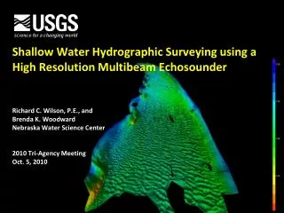
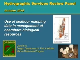
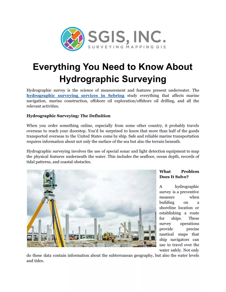
Everything You Need to Know About Hydrographic Surveying Hydrographic survey is the science of measurement and features present underwater. The hydrographic surveying services in Sebring study everything that affects marine navigation, marine construction, offshore oil exploration/offshore oil drilling, and all the relevant activities. Hydrographic Surveying: The Definition When you order something online, especially from some other country, it probably travels overseas to reach your doorstep. You’d be surprised to know that more than half of the goods transported overseas to the United States come by ship. Safe and reliable marine transportation requires information about not only the surface of the sea but also the terrain beneath. Hydrographic surveying involves the use of special sonar and light detection equipment to map the physical features underneath the water. This includes the seafloor, ocean depth, records of tidal patterns, and coastal obstacles. What Does It Solve? Problem A survey is a preventive measure building shoreline location or establishing a route for ships. survey provide nautical maps ship navigators can use to travel over the water safely. Not only hydrographic when on a These operations precise that do these data contain information about the subterranean geography, but also the water levels and tides.
Accurate information about the tides and the water levels is essential when navigating vessels in and out of a port. Sometimes the boat’s bottom can be very close to the seafloor when approaching the shore, and accurate readings of the tides and the underwater geography are crucial to keeping it from running aground. Advantages & Disadvantages of Hydrographic Surveying Advantages: Benefits of hydrographic surveying include: Safer navigation for ships such as navy vessels and shipping transports. Routes mapped out for relief vessels for quicker aid in emergencies. Knowledgeable construction of dams, ports, and docks. Environmental preservation and protection. ● ● ● ● Disadvantages: The hydrographic surveying operation has its drawbacks, however: Multibeam echo sounders require specific software to analyze the data. Doesn’t work very well in shallow water since the beams cover more area at greater depths. ● ● Final Thoughts That’s everything you need to know about hydrographic surveying services in Sebring, and now that you know how essential these services are, it’s time to give them the recognition they deserve. Reference URL: https://sgissurvey.wordpress.com/2023/02/28/everything-you-need-to-know-about -hydrographic-surveying/ Contact Details: Address: 4479 US Hwy 27 S, Sebring, FL 33870 Phone: 863-402-1619 Email: pyle.will@gmail.com Website: http://www.sgissurvey.com/