The Role of Religion in Shaping Space, Burial Practices, and Conflicts
120 likes | 269 Vues
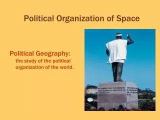
This discussion explores how religious beliefs and practices influence the organization of space, including sacred areas and burial traditions. It examines the diverse burial practices among Christians, Jews, and Muslims, as well as the impact of religion on place names in regions like Québec. The text also delves into religious hierarchies, conflicts arising from religious beliefs, and the interaction between government policies and religion, particularly in situations like those in Ireland and the Middle East. The dynamics of religious settlements and the physical landscape are analyzed.

The Role of Religion in Shaping Space, Burial Practices, and Conflicts
E N D
Presentation Transcript
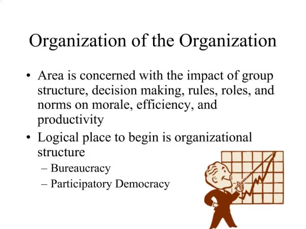
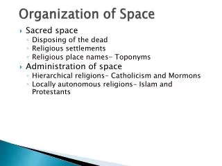
Organization of Space • Sacred space • Disposing of the dead • Religious settlements • Religious place names- Toponyms • Administration of space • Hierarchical religions- Catholicism and Mormons • Locally autonomous religions- Islam and Protestants
Burial • Christians, Jews, and Muslims all bury their dead in cemeteries. • Cemeteries are still used as parks and green space in Islamic countries. • In China, 10% of arable land has been used for burial and the government has ordered the practice discontinued. Even ordering farmers to plow over sites.
Place Names in Québec Fig. 6-12: Place names in Québec show the impact of religion on the landscape. Many cities and towns are named after saints.
Roman Catholic Hierarchy in U.S. Fig. 6-13: The Catholic church divides the U.S. into provinces headed by archbishops. Provinces are divided into dioceses, headed by bishops.
Religious Conflicts • Religion vs. government policies • Religion vs. social change (Taliban and Hindu Caste system) • Religion vs. Communism (Marx “The opium of the people”) • Religion vs. religion • Religious wars in Ireland • Religious wars in the Middle East
Distribution of Protestants in Ireland, 1911 Fig 6-14: When Ireland became independent in 1937, 26 northern districts with large Protestant populations chose to remain part of the United Kingdom.
Jerusalem Fig. 6-15: The Old City of Jerusalem contains holy sites for Judaism, Christianity, and Islam.
Boundary Changes in Palestine/Israel Fig. 6-16: The UN partition plan for Palestine in 1947 contrasted with the boundaries that were established after the 1948-49 War. Major changes later resulted from the 1967 War.
Israel, the West Bank and GazaPolitical and Physical maps Fig. 6-17: The West Bank and Gaza have been under Israeli control since 1967, and numerous Israeli settlements have been established there. The area includes three physical regions: the coastal plain, the hills, and the Jordan River Valley.
Section of Israeli Security Barrier Fig. 6-1.1: A typical section of the security barrier built by Israel in the West Bank.
Israel’s Barrier in the West Bank Fig. 6-1.2: The planned route of Israel’s security barrier in the West Bank includes many of Israel’s settlements in the territory.
The Temple Mount, Jerusalem Temple Mount contains sites holy to both Jews and Muslims, including the Western Wall of the Second Temple, al-Aqsa Mosque, and the Dome of the Rock.