Spatial Data Custodianship
Explore the challenges and strategies in spatial data custodianship, highlighting the critical importance of policy frameworks, proactive measures, and user engagement. Learn about the Custodianship Program, different scenarios like bushfire risk assessment areas and distribution lines, and the role of the Victorian Spatial Council in promoting data accessibility and usability. Discover how public-private partnerships drive innovation and support the vision of a 'spatially enabled Victoria'. Contact Elizabeth Thomas at DSE for more information and visit www.land.vic.gov.au/custodian.

Spatial Data Custodianship
E N D
Presentation Transcript
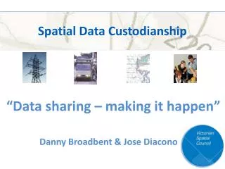
Spatial Data Custodianship “Data sharing – making it happen” Danny Broadbent & Jose Diacono
Introduction • Data sharing now • Issues • Background • Custodianship Program • Scenarios
Now Bushfire Risk Assessment Areas Transmission Lines Distribution Lines Distribution Lines Common Place Points & Features Common Place Points & Features Distribution Lines Water Pipelines Standpipes, Valves Water Pipelines Irrigation Channels Predicted Flood Levels Water Pipelines Irrigation Channels Predicted Flood Levels Example Only
Issues • Risk • Quality • No mandate • Cost • Awareness of value • Framework • Distribution and updates • People dependent
Victorian Spatial Council Represents the Victorian Spatial Community Federal, state and local government Utilities Emergency services Private sector Academia Professional bodies
Victorian Spatial Information Strategy A strategy to ensure that spatial data is accessible, available and usable. VSIS 2004-2007 laid the foundations Public-private partnerships VSIS 2008-2010 “ A spatially enabled Victoria” Galloping change Complex, urgent problems Global players Department of Sustainability & Environment DSE
Public-private partnerships • Vicmap Books Spatial Vision DSE • Coordinated Imagery Program Streamlined state-wide purchase of aerial and satellite imagery Sharing/multiple use Reduces cost Improves quality Regular coverage
Victorian Spatial Information Strategy A strategy to ensure that spatial data is accessible and can be used effectively VSIS 2004-2007 laid the foundations Public-private partnerships VSIS 2008-2010 “ A spatially enabled Victoria” Galloping change Complex, urgent problems Global players Department of Sustainability & Environment DSE
Spatial Data Custodianship • What is custodianship? • Custodian= authoritative source • Policy framework and guidelines • Reactive Proactive • A custodian is also a user Source Access Distribution End Users
Spatial Data Custodianship Scenarios
Issues • Risk • Quality • No mandate • Cost • Value awareness • Framework • Distribution • People dependent
Where now? Elizabeth.Thomas@dse.vic.gov.au www.land.vic.gov.au/custodian Telephone 03 8636 2307 ?