Download
1 / 25
260 likes | 994 Vues
. Land survey for setting-out:creation of a setting-out net (measurement, calculation and marking of survey stations which can be used for setting-out)setting-out of the spatial position of a building = setting-out of the building main position line (= frontage), setting-out of the axis or the mai

E N D
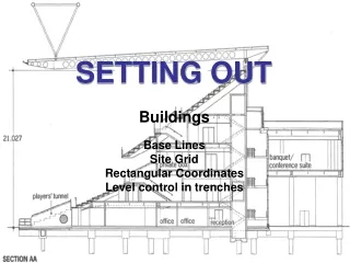
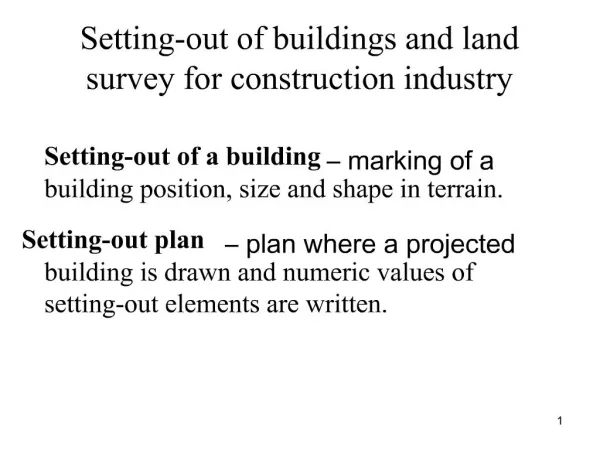
1. Setting-out of buildings and land survey for construction industry Setting-out of a building � marking of a building position, size and shape in terrain.
Setting-out plan � plan where a projected building is drawn and numeric values of setting-out elements are written. 1
2. Land survey for setting-out:
creation of a setting-out net (measurement, calculation and marking of survey stations which can be used for setting-out)
setting-out of the spatial position of a building = setting-out of the building main position line (= frontage), setting-out of the axis or the main points of a linear structure (road, railway, watercourse)
detailed setting-out = setting-out of a building size and shape. 2
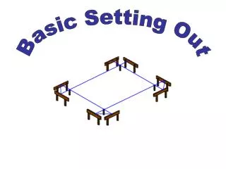
3. Setting-out nets:
planimetric networks � an aligning base, a traverse or an orthogonal setting-out net. The net is usually connected to points of�S-JTSK (the coordinate system of Krov�k�s projection).
altimetric networks � either independent of the planimetric network or the points of the planimetric network are used. 3
4. Setting-out accuracy is given and it is judged according to the standards:
CSN 73 0420 � 1: Accuracy of setting out of constructions. Fundamental requirements.
CSN 73 0420 � 2: Accuracy of setting out of constructions. Setting out deviations. 4
5. Setting-out of a position 1. Setting-out of an angle
2. Setting-out of a point position
3. Setting-out of a straight line
4. Setting-out of a circular arc 5
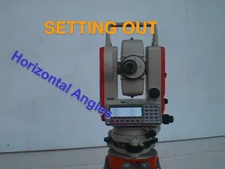
6. 1. Setting-out of an angle 1. 1 Setting-out of a general angle
- by means of a theodolite or a total station
task: horizontal angle ? should be set out at the survey station S from point A
6
7. Procedure centering and levelling of the instrument at the survey station S
pointing at A in the face left position of the telescope and horizontal circle reading
adding the angle ? to this reading and �setting� calculated value by means of the alidade turning
marking of point B� in this direction in required distance d (if high accuracy is not necessary ? result)
if high accuracy is demanded, setting-out of the angle ? has to be repeated in the face right position of the telescope and point B�� is marked. In the middle of points B�and B�� ? B (result). 7
8. 1.2 Setting-out of the right angle by means of a theodolite by means of a pentagonal double prism (if high accuracy is not demanded)