Innovative GIS Applications: Bridging Technology and Geography in Modern Education
70 likes | 193 Vues
Join experts Wingyan Chung, Albert Esterline, Greg Ferrara, Ron Hughes, Lawrence Kiage, Richard Plant, and others for a Group Session on GIS concepts. This session will explore the effects of map scale, data capture, database management, data quality, visualization, and geospatial analysis terminology. Key topics include the importance of programming skills, data mining, and simulation in GIS projects, alongside the challenges of implementing problem-based learning in diverse disciplinary contexts. Engage in discussions on socially-responsible GIS applications and innovative project ideas.

Innovative GIS Applications: Bridging Technology and Geography in Modern Education
E N D
Presentation Transcript
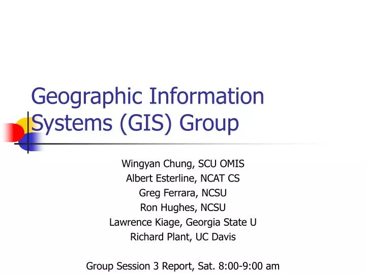
Geographic Information Systems (GIS) Group Wingyan Chung, SCU OMIS Albert Esterline, NCAT CS Greg Ferrara, NCSU Ron Hughes, NCSU Lawrence Kiage, Georgia State U Richard Plant, UC Davis Group Session 3 Report, Sat. 8:00-9:00 am
GIS Concepts • Effects of Map Scale • Data capture • Database management and data schema/structure • Data quality • Programming • Visualization • Data transformation • Pattern analysis • Display / delivery / communication • Network analysis • Geospatial analysis
Terminology Difference • Same terms but different meaning • Data structure • Database schema • Scale -- spatial scale vs. performance • Topology (e.g., point) • Different terms but same/close meaning • Pattern analysis vs. data mining
Computing/IT as a tool • Programming • .NET, Visual Basic, Java, Javascript programming • GIS visualization software • Data management • MS Access database management • SQL queries • Pattern analysis (trends) • Simulation • Web technologies (not widely taught now) • XML family, Web services, protocols
Computing/IT as a concept • Data management and analysis • Data modeling, knowledge representation • Database design and development • Data mining concepts • Programming skills • From a user to a developer (SE cycle) • Programming skills and patterns • User interface design concepts • Simulation • Process modeling and visual representation
Ideal Implementation (1) • Using SE methodology at advanced GIS projects • May need students from different disciplines for a common exciting goal • Problem-based learning - use cool X to teach uncool Y • A capstone course, example project: • Precipitation estimates on different locations • Get estimates of nearest weather stations => need computational geometry concept and algorithm design • Finding Malaria hotspots / Socially-responsible GIS apps. • Process modeling • Creating traffic model using Petri-net • Multi-agent simulation (e.g., forest fire modeling) • Modeling an area’s soil erodibility, habitability
Ideal Implementation (2) • Social computing in the Introduction to GIS course (also in intro CS course) • Location-aware computing, GPS apps, mash-up, Google map • Privacy, IP, ethics • Accessibility of location information, open-source GIS software • (* GIS typically is not a major, but a part of geography or something else (exception))