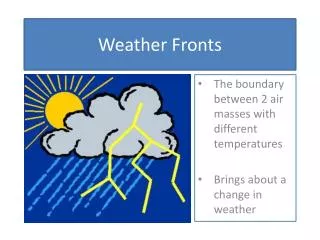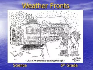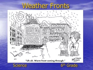
Weather Fronts
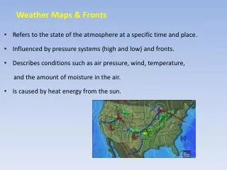
Weather fronts play a crucial role in our daily weather patterns. On October 24, 2012, high pressure brought cool, dense air to the ground, leading to sunny and dry conditions. In contrast, low pressure caused warmer, less dense air to rise, resulting in cloudy, wet, and windy weather. We also explore air masses, the boundaries that form between different air types, and the characteristics of warm, cold, stationary, and occluded fronts. Understanding these elements helps us predict weather changes effectively.

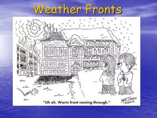
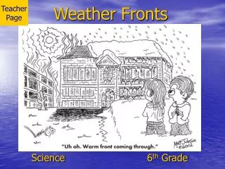
Weather Fronts
E N D
Presentation Transcript
Weather Fronts October 24, 2012
High Pressure cool air gets denser – moves toward the ground pressure increases because more air fills the space pressure in that area is greater than the area surrounding it sunny, dry, and cooler than normal. H
Low Pressure the air is warmed – gets less dense and moves up higher cloudy, wet, warm, and windy. L
Air Mass a body of air extending hundreds or thousands of miles sideways and sometimes as high as the stratosphere and having nearly the same conditions of temperature and humidity at any single level.
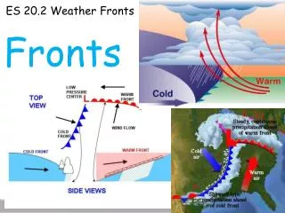
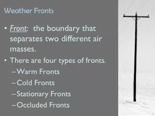
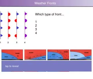
Front boundaries between two air masses that differ in temperature and humidity.
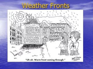
Warm Front an advancing edge of a warm air mass
Cold Front an advancing edge of a cold air mass
Stationary Front a front between warm and cold air masses that is moving very slowly or not at all.
Occluded Front the front formed by a cold front overtaking a warm front and lifting the warm air over the cold air Two types: Cold occlusion – when the coldest air is behind the cold front Warm occlusion – when the coldest air is ahead of the warm front.