Weather Fronts
Weather Fronts. Part 2 Mrs. Nagrone. Objectives. You will have the understanding of how air masses and the collision of air masses cause weather conditions. You will also be able to identify which air masses, global wind belts, and types of fronts usually control weather in the US.

Weather Fronts
E N D
Presentation Transcript
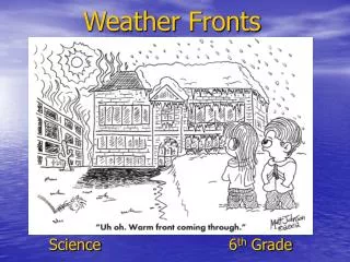
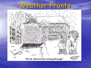
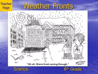
Weather Fronts Part 2 Mrs. Nagrone
Objectives • You will have the understanding of how air masses and the collision of air masses cause weather conditions. • You will also be able to identify which air masses, global wind belts, and types of fronts usually control weather in the US.
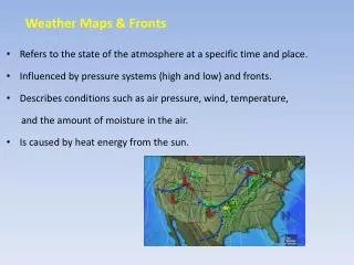
Air Masses • Air pressure is the weight of air pressing down on an area. • A change in air pressure usually means a change in weather. • When a new system arrives it will have a different amount of air pressure.
Wind Belts • Polar Easterlies:Cold wind from the east. • Prevailing Westerlies: Blowing from west to east. • Northeast Trade Winds: Winds from Europe to N. America. • Southeast Trade Winds: Blow from SE to NW. • Prevailing Westerlies:Cause the weather in Africa and S. America. • Polar Easterlies:Move polar air toward the equator to keep temp. in balance.
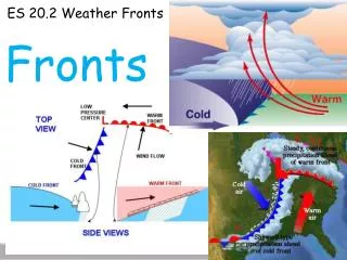
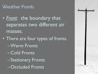
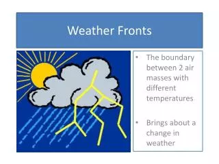
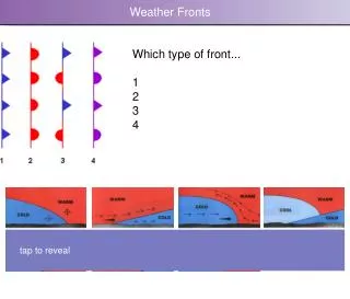
Fronts • The border between two air masses that collide is called a front. • The masses usually do not mix but rather the faster pushes out the slower. • The warmer air will always be pushed up over the denser, cooler air. • There are four types of fronts.
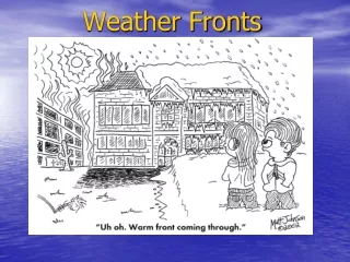
Warm Front • When a warm mass moves into an area of cooler air the boundary that forms is called a warm front. • Warm air rises and cool air is lower. • High cirrus clouds usually precede a warm front. • They are followed by lower clouds causing precipitation.
Cold Front • The leading edge of a cold air mass causes a cold front as it collides with warm air. • Cold fronts travel quicker than warm and are more extreme. • The cold dense air pushes under the warm moist air causing condensing. • Usually heavy precipitation is evident.
Stationary Fronts • When the boundary between two fronts does not move it is called a stationary front. • Air masses mix and clouds form on both sides of the front. • When a warm front or cold front stalls it is called a stationary front.
Occluded Front • This front is what happens when a cold front overtakes a warm front. • The cold mass pushes all the way under the warm mass until it reaches the cold mass ahead of the warm mass. • The warm mass is trapped above the cooler air. • Precipitation flows light and steady in this front.
Water Cycle and Weather • The heat from the sun generates the energy needed for the water cycle. • Heat is needed for evaporation and condensation to occur. • Water from oceans, lakes and rivers provides what we need for precipitation to “recycle”.
Summary • Air masses that pass over an area control its weather. • A front is where two air masses collide. • Warm fronts bring steady rain and cloudy skies. • Cold fronts move quickly with strong storms. • Fronts that stay in place are called stationary fronts. • When a cold front overtakes a warm front an occluded front forms. • The water cycle provides the moisture needed to form clouds and precipitation.