Download
1 / 14
140 likes | 160 Vues
Learn how GIS technology supports Population Census operations in Albania, including mapping, data entry, quality control, and future challenges. Presented at MSIS 2014 in Dublin, Ireland.

E N D
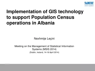
Implementation of GIS technology to support Population Census operations in Albania Nexhmije Leçini Meeting on the Management of Statistical Information Systems (MSIS 2014) (Dublin, Ireland, 14-16 April 2014)
Presentation outline Introduction Existing spatial data and census information Census mapping The new GIS system Post Census activities Next challenges National Institute of Statistics Albania
Some new technological innovation implemented at Population Census Albania Introduction GIS technology in the Census process Optical Mark Recognition (OMR) Intelligent Character Recognition (ICR) National Institute of Statistics Albania
Census Information System Census Mapping The new GIS system Field update Digitizing Delineation of the EAs National Institute of Statistics Albania
Urban Mode Rural Mode Digitizing National Institute of Statistics Albania
User Action for Quality Control Digitizing / Quality Control National Institute of Statistics Albania
Geodatabase Administration Digitizing / Quality Control National Institute of Statistics Albania
In Urban Areas each EA have approximately 80 to 100 dwellings • In Rural Areas the size of EAs was slightly smaller, 60 to 80 Two way process: Delineation of the Enumeration Areas Urban mode - boundaries, street lines and buildings for housing purpose Rural mode- boundaries, street lines, buildings, watersheds and sides National Institute of Statistics Albania
Urban Mode Delineation of the Enumeration Areas National Institute of Statistics Albania
Rural Mode Delineation of the Enumeration Areas National Institute of Statistics Albania
Enumeration Area Map National Institute of Statistics Albania
Data entry • Checking • Editing • Analysis • Publications Post Census activities National Institute of Statistics Albania
The objective is to create a spatial database • enables queries over the whole territory • data is suitable for a small-scale thematic mapping and • large-scale analysis • the database contains information of census maps and • census data • the database avoids data duplication • uses open data structure, permits use of as many • GIS software applications • the database structure enables export of data for Web services • in the future • enables relation with Census database • enforces the technical quality and logical consistency of the data • implementation of data specifications in the framework of the • INSPIRE EU Directive Future Challenges National Institute of Statistics Albania
Thank You Question Please? National Institute of Statistics Albania