Download

1 / 15
150 likes | 180 Vues
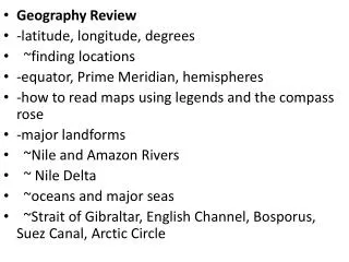
Explore the orbits of A-Train satellites using global Earth information. Add longitude and latitude lines, equator plane, and Earth-Sun vector for better understanding. Analyze the crossing of satellites and calculate time differences.

E N D
Next we will use global information about the Earth to help define and understand how the A-Train orbits the Earth.
First, lets add some information to our simulation so we can look more closely at the satellites. Select “properties”
In the “Details” form we want to add Longitude and Latitude lines every 15 degrees.
Now we have a grid reference we can use to better understand how the satellites orbits the earth.
For more spacial references add an Earth Sun Vector with an equatorial plane with a 100km grid spacing.
Then add Earth Equator Plane with a 100km grid. (You can also select an 80% Translucent Plan to match the following slides).
The addition of the Equatorial Plane will allow us to see where the satellites cross the equator. The “ascending node” is where the satellites crosses from south to north across this place. This is one of the primary COEs for the satellites.
To get a better view of the relationship between the satellites and the Equatorial Plane we will change our viewpoint to one of the satellites, Aqua.
~700 km You then can move to see Aqua crossing the Equatorial Plane at about 700km. Remember each grid line is equal to 100km.
We can also run a report to determine the time Aqua and Aura crossed the ascending mode. Then compare the difference in time to what we previously entered. Click on the picture to see the scenario.
Select Aqua>Ascending Mode then select the “Generate” button.
All the times that Aqua crosses the Ascending Node are then displayed in the report. For our calculation we will use the 1st time value.
embedded spreadsheet Likewise we will run a report on Aura and capture the 1st time value. Aqua lead Aura by ~ 7.3 minutes. This is pretty close to what we expected.