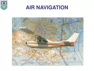
AIR NAVIGATION
AIR NAVIGATION. Part 1 Distance & Speed. RECAP. Latitude and Longitude lines divide the surface of the Earth into degrees and minutes. One minute of latitude represents one nautical mile (nm) 1 degree of latitude (60 minutes) equals 60nm. RECAP. Latitude and Longitude lines

AIR NAVIGATION
E N D
Presentation Transcript
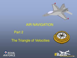
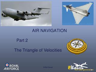
AIR NAVIGATION Part 1 Distance & Speed
RECAP Latitude and Longitude lines divide the surface of the Earth into degrees and minutes. One minute of latitude represents one nautical mile (nm) 1 degree of latitude (60 minutes) equals 60nm
RECAP Latitude and Longitude lines divide the surface of the Earth into degrees and minutes. As a complete circle is 360° then 360 x 60 gives the circumference of the Earth as 21600 nm (approx 25000 statute miles).
RECAP • Lines of Longitude • are sometimes called MERIDIANS • The line of Latitude must be given first. • The starting point goes through Greenwich and is referred to as the • “Prime Meridian”
Distances Between Points Nautical maps have no scales on the borders, we use the nm scale shown on each meridian.
Distances Between Points If two places are on the same meridian (longitude) then it is possible to calculate the distance between them, rather than having to actually measure it.
Distances Between Points For example: Torrejon airfield (in Spain) is due south of RAF St Athan (in Wales) on the same meridian These two latitudes are N40º29’ and N51º24’ So how do we calculate the distance between them?
Meridian Calculation N 51º 24’ First Latitude N 40º 29’ Second Latitude ? 10º 55’ Subtracting gives Remember – 60 degrees to a minute Because 29’ is more than 24’ 60’ minus 29’ = 31 As we carry 1 across, we now have 51º – 41º = 10º Plus 24’ = 55’
Meridian Calculation N 51º 24’ First Latitude N 40º 29’ Second Latitude: 10º 55’ Subtracting gives: Now convert 10º 55’ into nautical miles: 10º multiply by 60 = 600 Add the 55’ = 655 nm
Aircraft Speed • What is the measurement of speed • for cars, motorcycles and land vehicles: • Miles per hour • For aircraft, the speed is a measure of: • Nautical Miles per hour – (Knots) • (remember 1’ of latitude is 1 nautical mile (nm))
Aircraft Speed • What do we use to show the of speed • for cars, motorcycles and land vehicles: • Speedometer • For aircraft we use an • Air Speed Indicator • (ASI)
Aircraft Speed • The Air Speed Indicator (ASI) measures • the Dynamic Air pressure • caused by forward motion of the aircraft. • This is achieved by measuring the air • captured in the Pitot Tube
Aircraft Speed • The Air Speed Indicator (ASI) measures • the Dynamic Air pressure • caused by forward motion of the aircraft. • The pressure of the air • surrounding the aircraft • ( “Static Pressure”) • and the air pressure • captured in the Pitot Tube • (“Pitot Pressure”), • are measured and compared. A simplified ASI Pitot Tube Airstream Static Tube
Aircraft Speed • The Air Speed Indicator (ASI) measures • the Dynamic Air pressure • caused by forward motion of the aircraft. • In forward flight • the pressure above • the diaphragm is both • Dynamic + Static. • But below the diaphragm is just Static. A simplified ASI Pitot Tube Airstream Dynamic + Static Static Static Tube
Aircraft Speed • The Air Speed Indicator (ASI) measures • the Dynamic Air pressure • caused by forward motion of the aircraft. • The two static pressures • cancel each other out, • and so the diaphragm • moves up and down • due only to the • Dynamic Air Pressure. A simplified ASI Pitot Tube Airstream Dynamic + Static Static Static Tube
Aircraft Speed • The Air Speed Indicator (ASI) measures • the Dynamic Air pressure • caused by forward motion of the aircraft. • The movement due to dynamic pressure • is amplified and displayed on the instrument • as Indicated Air Speed (IAS) in knots.
Check Understanding Distance on the earth’s surface is measured in nautical miles. Which of the following is true? 1 nm = 1/10,000 of the distance from the North pole to the equator 1 nm = 1 min of Longitude 1 nm = 5280 feet 1 nm = 1 min of Latitude
Check Understanding One degree of latitude represents: 1 nm 6 nm 60 nm 360 nm
Check Understanding What time is used as standard in military and commercial aviation? The local time of the country flying over British Summer Time European Standard Time Greenwich Mean Time
Check Understanding Glasgow is due north of Plymouth (approximately on the same meridian). If Glasgow is latitude 55°50’ and Plymouth is latitude 50°25’ what distance are the two places apart? - 55° 50’ 50° 25’ 275 nm 50’ – 25’ = 25 325 nm 55°– 50°= 5 450 nm 300 + 25 = 325nm 5 x 60 = 300 525 nm
Check Understanding What does an ASI measure? Dynamic air pressure caused by forward motion of the aircraft Overall speed of the surrounding air Dynamic air pressure caused by speed of the outside air Forward thrust of the aircraft engines
Check Understanding In the RAF, aircraft speeds are generally expressed in: Knots Miles per hour Metres per second Nautical miles per hour
Check Understanding What is shown on an ASI? Indicated Air Speed in knots True Air Speed in knots Dynamic Air Speed in knots Nautical miles per hour
AIR NAVIGATION End of Presentation