Download
1 / 43
430 likes | 468 Vues
Learn about GIS mapping in wildfire management, the Incident Command System (ICS), becoming a GIS Specialist (GISS), and the use of Fire Incident Mapping Tools (FIMT) in producing essential mapping products for incident response. Explore data sources, mapping products, and more.

E N D
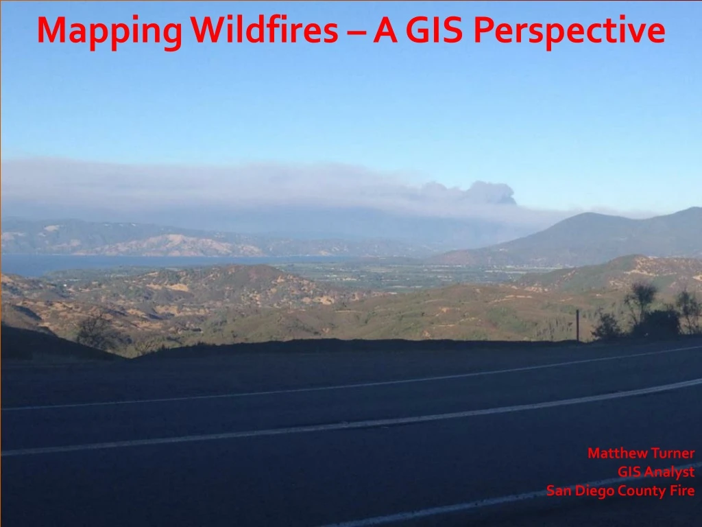
Mapping Wildfires – A GIS Perspective Matthew Turner GIS Analyst San Diego County Fire
GIS Specialists (GISS) & the Incident Command System (ICS) * All wildland fires are managed using the Incident Command System (ICS)* ICS is a standardized approach to the command and coordination of emergency response, and is a scalable model that can be used for any size incident
Becoming a GISS * All GISS candidates must first complete the S-341 class (GIS Specialist for Incident Management). Candidates MUST have some ArcGIS skills, or will otherwise be completely lost.* Completion of the class “initializes” the GISS task book (aka “position qualification”), which allows the GIS Trainee (GIST) to begin working fires.* It generally takes between 8-to fire assignments to complete a task book.* Completed task books are then presented to the California Incident Command Certification System committee, who will thoroughly review candidate task books to determine if enough has been completed to qualify a GIST to become a GISS.
It’s all about FIMT (Fire Incident Mapping Tools) * FIMT is a specialized toolset, downloaded to ArcMap, that is the basis for Incident Mapping* The S-341 class teaches students all the FIMT bells and whistles, and of the standardized mapping products that are used on wildland fires* FIMT creates a standardized FGDB, with imbedded domains and standard symbol sets for consistency* CALFIRE Toolset is also used regularly
Most Common Incident Mapping Products Initially, or at least during the “Initial Attack” phase of a wildfire, there are 3 required mapping products that must be produced for the first Operational Briefing:1) The Operations Map (or Ops map)2) The Incident Action Plan map (commonly referred to as the IAP map)3) The Big Area Map (BAM map)
Incident Mapping: Data Sources * Early IC “swag” or via NICS (Next Generation Incident Command mapping system* Helicopter GPS flight data* Nightly IR data capture via fixed wing aircraft* Field Observers (FOBS)* Regular interaction with the Situation Unit Leader (SITL) and/or the Plans ChiefData includes perimeter info (uncontrolled & completed fire lines, dozer lines, drop points, ICP, dip sites (water locations), staging areas, etc.
Other Mapping Products * Big Area Map (BAM)* Travel Maps* Air Ops* Ownership* Fire History* Fire Progression* PIO* Rehab* Suppression Repair* Damage Inspections* Arch Sites* Contingency* Evacuations
gis.nwcg.gov/index.html QUESTIONS?


