Download
1 / 18
180 likes | 277 Vues
Remote Sensing GEO483/553, Fall 2013 Tu Th 2:00-3:20pm, 322 Fillmore. Instructor Ling Bian , 120 Wilkeson Office Hours Tu Th 4-5pm or by appts. TA: Shiran Zhong Labs Lab A: Thur 6:30-7:50pm Wilkeson 14 Lab B: Tue 3:30-4:50am Wilkeson 145 No lab in the first week

E N D
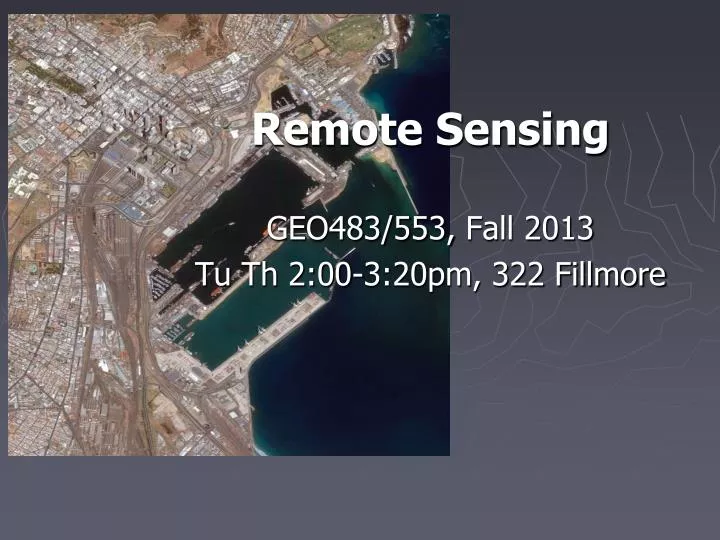
Remote Sensing GEO483/553, Fall 2013 TuTh 2:00-3:20pm, 322 Fillmore
Instructor Ling Bian, 120 Wilkeson Office Hours TuTh 4-5pm or by appts
TA: ShiranZhong Labs Lab A: Thur 6:30-7:50pm Wilkeson 14 Lab B: Tue 3:30-4:50am Wilkeson 145 No lab in the first week No lab in the first week No lab in the first week
Access to Wilkeson GIAL computer account printing account See Joe if there are still problems
Purpose This course is designed to introduce principles and applications of remote sensing, and basic techniques of digital image processing. Remote sensing technology is essential for modern spatial analysis in order to identify features and phenomena at the surface of the Earth. Remote sensing has been used for research and applications in a wide range of disciplines such as geography, archaeology, engineering, geology, urban studies, forestry, agriculture, and homeland security. The course should benefit students who are interested in pursuing a career in any of these disciplines.
This course has a lecture component and a lab component. Both components are presented at an introductory level. The lecture will cover basic principles and applications of remote sensing. These include the basic laws of energy, the interaction between the energy and Earth surface, remotely sensed data and the major sensor systems, basic techniques for image enhancement and image classification, classification accuracy assessment, and applications of remote sensing.
Labs A series of laboratory exercises will help students understand the lecture materials and gain hands-on experience in digital image processing. ENVI will be used as the primary software. Digital images of various spatial, spectral, and geographic characteristics will be used for the lab exercises. These images include Thematic Mapper (TM), Multispectral Scanner (MSS), SPOT, MODIS, IKNOS, and digital aerial photographs. The labs are designed to familiarize students with the following techniques: basic understanding of ENVI, remotely sensed imageries and satellite systems, data access through web sites, image rectification, image enhancement, image classification, and accuracy assessment.
Recommended Journals • Photogrammetric Engineering and Remote Sensing • Remote Sensing of Environment • International Journal of Remote Sensing • ISPRS Journal of Photogrammetry and Remote Sensing • GeoCarto International • ASPRS/ACSM Annual Meeting and Convention
Prerequisite The course is open to graduate students or senior undergraduate students. Basic algebra is required to help understand the principles of remote sensing. Basic statistics are preferred.
Text Lillesand T.M. and R.W. Kiefer, 2008, 6th ed. Remote Sensing and Image Interpretation. John Wiley & Sons, Inc., New York. • Additional Readings Jensen, J.R., 2005. 3rd ed. Introductory Digital Image Processing, A Remote Sensing Perspective. Prentice Hall, New Jersey. Campbell, J.B., 2007. 4th ed. Introduction to Remote Sensing. The Guilford Press, New York.
Grading System Undergraduate Graduate Mid-term exam 30% 30% Final exam 30% 30% Lab exercises 40% 30% Summery 10% Total 100% 100% You will earn two identical grades for the lecture and the lab The exams will be mostly based on lectures
Summery Graduate students are expected to review seven remote sensing articles, give a PPT presentation summarizing them, and submit a written copy of the summery.
Grad cut-off A 93.33-100.0 A- 90.00-93.32 B+ 86.67-89.99 B 83.33-86.66 B- 80.00-83.32 C+ 76.67-79.99 C 73.33-76.66 C- 70.00-73.32 D+ 66.67-69.99 D 60.00-66.66 F <60
Tentative Schedule I. Principles of remote sensing 8/27 Introduction 8/29 Energy sources, radiation principles 9/ 3 Energy interactions with earth systems 9/ 5 Aerial photo interpretation (1st bibliography due) 9/10 Satellite remote sensing 9/12 Lansat systems 9/17 Spot and other moderate resolution systems 9/19 Image rectification
Tentative Schedule (2) II. Image Processing 9/24 High resolution and Met satellite system 9/26 Image enhancement 10/ 1 Image enhancement 10/ 3 Supervised classification 10/ 8 Un-supervised classification 10/10 Image classification systems 10/15 Accuracy assessment 10/17 Mid Term Exam
Tentative Schedule (3) III. Other Sensor Systems 10/22 Aerialphoto geometry 10/24 Thermal remote sensing 10/29 Microwave remote sensing 10/31 Microwave remote sensing 11/ 5 Guest speaker 11/ 7 Advanced topics 11/12 Advanced topics 11/14-12/3 Remote sensing applications 12/ 5 Conclusions (graduate students summary due) Final Exam: Dec 10 (Tue) 3:30-6:30pm 355 Fillmore
Plagiarism • What is plagiarism and how to avoid it:http://ublib.buffalo.edu/libraries/asl/guides/plagiarism.htmlhttp://www.guardian.co.uk/world/2011/mar/01/german-defence-minister-resigns-plagiarism
Expectations • Job oriented • Research oriented