Historic Digimap
Historic Digimap. Historic Digimap service Ancient Roam Screen share Historic Download Questions. What is Historic Digimap?. JISC funded service Provides access to historic maps from 1843 – late 1990s, for users at subscribing colleges/universities

Historic Digimap
E N D
Presentation Transcript
Historic Digimap • Historic Digimap service • Ancient Roam • Screen share • Historic Download • Questions
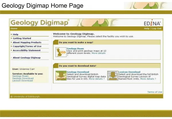
What is Historic Digimap? • JISC funded service • Provides access to historic maps from 1843 – late 1990s, for users at subscribing colleges/universities • Users must login with their college/university network, but no individual registration required • EDINA design and host the service: http://edina.ac.uk/digimap/
What historic maps? • Town Plan maps at 1:500, 1:528 and 1:1056 scales published from 1848 and 1939, for towns with a population in excess of 4000 at the time of survey, • County Series maps at 1:2,500 and 1:10560 scales published between 1846 and 1969, • National Grid maps at 1:1,250, 1:2,500 and 1:10560/10,000 scales, published from 1948 – 1996 (before the introduction of the Ordnance Survey's digital Land-Line product). http://edina.ac.uk/digimap/description/products/historic_products.shtml
Town plan sample 1895, scale 1:500
County series sample 1896, Scale 1:2500
National Grid sample 1983, Scale 1:1250
Map revisions • A map series covers a time period, for example the County Series ran from the 1840s to the 1960s. • Within that time period, the maps were resurveyed periodically and the maps were revised. • Not all areas were resurveyed, only those with significant change. • 1st Edition 1854 – 1901 • Maps available in blue areas (note this map availability tool is in Historic Download)
Map revisions • County Series 1st revision 1893 - 1915
Map revisions • County Series 2nd revision 1906 - 1939
Map revisions • County series 3rd revision 1924 - 1949
Historic Digimap facilities Ancient Roam, make maps to view on screen Historic Download, download maps – TIFF format Original service, make maps and download data – available until December 2010
Historic Digimap • Historic Digimap service • Ancient Roam • Screen share • Historic Download • Questions
Ancient Roam overview Timeline Task menu Help and navigation
Ancient Roam maps • Fixed scales – user cannot select scale • Zoom in and out to different fixed scale map views • 5 Modern map views – to help you zoom into the right location • 12 historical map views – different historical maps viewed at an optimal scale
Search • Place name, full postcode or grid reference search options • Place name database does not include street names
Viewing historical maps • The Timeline is located above the map pane. The timeline is not activated until a historical map is generated. • Shows the availability of historical maps over each decade, for the current location and view level. Simply click on a decade to view the available map. • Currently selected decadeis highlighted in red • Decades in blue mean there are maps available for that decade.Where there is more than one map available in a decade, the earliest map is shown. • Decades in grey mean there are no historical maps availablefor that decade, at that location and map view. • Your decade selection is retained when you move around and zoom in/out. .
Viewing historical maps • No available maps? • Search again • Pan around • Zoom in or out • Try a different decade
Viewing historical maps • Pan around: Click and drag the map i.e. click and hold the left mouse button, then drag to move the map. • Use the navigation control to move north, south, east or west:
Viewing historical maps Click and drag the red box to move to a new location
Viewing historical maps To zoom in/out of the map, you can: • Double click to zoom in • Use the mouse scroll wheel to zoom in or out. • Use the drag zoom tool to zoom to a specific area. Select the tool, then click on the map and drag to draw a box where you want to zoom. • Use the zoom slider bar to zoom in or out:
Overlapping maps • Overlapping map selection tool will be highlighted in red if overlapping maps occur (happens when neighbouring counties surveyed the same area more than once in the same time period – the maps are on top of each other in Ancient Roam) • Sometimes overlapping maps cause blurring, as above
Overlapping maps Select a county from the list to display only one map
2 up view • Select the decades for the maps that you wish to view by clicking the decades in the Timelines. • Click or to return to the one map view
Map details Click once anywhere on map - Map series, tile, publication year…we do not have survey year
MyMaps • Save up to 200 maps • Available anytime you login
Save a map image • Print facility not available at present • Save a PNG map image to your computer, insert into documents • Click the save as image to disk icon in the top right
Save a map image • A new browser window opens: Right click on image, select Save Image as…or Save picture as
Forthcoming • PDF printing • Underlying contemporary maps with a slider to fade contemporary maps in or out • 4 map view • Survey year data to be added for County Series maps – n.b. only available for Scotland • Download National Grid tiles of data directly from Ancient Roam • Download original map sheet from Ancient Roam – link in the Map Details window
Historic Digimap • Historic Digimap service • Ancient Roam • Screen share • Historic Download • Questions
Historic Digimap • Historic Digimap service • Ancient Roam • Screen share • Historic Download • Questions
Select map data product Click on any map series to select it for download
Select product 2 Select Original map sheets, National Grid tiles or both
Search & Select Tiles screen Search, select map edition List of selected tiles appears here Select tiles here…once you are in the right location
Search Additional search option – Historic County or Parish
Select tiles • Once you are in the right location, and can see tiles marked on the map… • Click Select tiles and click on the map to select the tiles of interest
Select tiles • Selected tiles are highlighted on the map in red • Selected tiles are in the list on the right
Download screen Here, you: • name your order and confirm your details, • refine your data order, • order your data. 1. Name your order, confirm email address
Download screen 2. Refine your data order – you can delete any unwanted tiles here. Note that map sheets are included automatically, if you asked for map sheets AND National Grid tiles at the start
Download screen 3. Select zip option and order data
Confirmation received You will receive an on-scren confirmation, which explains: • You will receive an email when your order is ready. • That your order will typically be ready within 48 hours (although generally it is much faster). • You can check the status of your order on the My Account page
Email received when ready • Includes a link to collect data – note you must already be logged in to Historic Digimap to use the link
Data download file contents • Unzip the zip file to see the contents • Sub-folder for National Grid tiles and map sheets….IF you requested both!