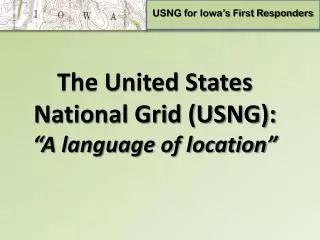
USNG Standard
USNG Standard. United States National Grid (USNG). Purpose. Adopt existing FGDC USNG Standard To encourage the use of the USNG on all appropriate map products in the state To specify how the USNG should be presented on maps when it is used. The Standard. What Randy said…. Compliance.


USNG Standard
E N D
Presentation Transcript
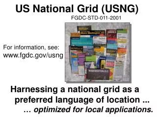
USNG Standard United States National Grid (USNG)
Purpose • Adopt existing FGDC USNG Standard • To encourage the use of the USNG on all appropriate map products in the state • To specify how the USNG should be presented on maps when it is used
The Standard • What Randy said…
Compliance • When Minnesota state agencies present the USNG on printed map products that claim conformance to this standard, they shall provide a means for people to accurately locate a USNG coordinate on the map and for people to extract, for any point on the map, an accurate USNG coordinate. This will usually mean that the USNG will be printed on the map according to the guidance in FGDC-STD-011-2001. • County, municipal and other local governments and private organizations are encouraged to use this standard when producing similar map products.
Public Review • Five responders • Summary • Two letters of support from public safety officials • Title suggest a style guide (we simplified the title) • Don’t change federal standard • Implementation suggestions (beyond scope) • No dissenting views • Added paragraph describing practical advantages
The Standards Committee Asks for your Approval United States National Grid (USNG)
CTU Code Standard Codes for the Identification of Cities, Townships & Unorganized Territories (CTUs) in Minnesota
Purpose • Single, common coding scheme to identify • Cities • Townships • Unorganized Territories (Census Bureau defined)
The Standard • Official federal government code • USGS • Census Bureau • ANSI • Geographic Names Information System (GNIS) • Replaces retired FIPS 55
The Standard • Six to eight digit code • Unique nationally • GNIS = integers (St. Cloud = 2396483) • Census = text (St. Cloud = 02396483) • Both formats are considered to be in compliance
Compliance • Use of this standard is mandatory when both of the following two conditions exist: • a state agency is transferring data to another entity, AND • no other previously-agreed-to coding scheme for CTUs has been designated.
Compliance • Transfer standard = no mandate for internal storage. • Use by others is strongly encouraged, but voluntary.
Resolved Problems • 7 years later we are really ready • Update frequency of FIPS • GNIS updated locally (LMIC & Met. Council) • Coalition of state agencies finding and validating changes to CTUs • Met. Council and LMIC databases online
Public Review • Four responders • Summary • Why two formats? • Specify field names, types, widths? • Historic data? • Improve clarity of text & examples • No dissenting views • Clarified language in standard document
The Standards Committee Asks for your Approval Codes for the Identification of Cities, Townships & Unorganized Territories (CTUs) in Minnesota