1 / 35

USGS GEOSPATIAL LIAISONS Who are we? What do we do? How can we help?

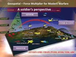
USGS GEOSPATIAL LIAISONS Who are we? What do we do? How can we help?. Roger Barlow Geospatial Liaison to New Jersey, Delaware, Maryland, District of Columbia Frank Kenney Geospatial Liaison to New York Lou Driber Geospatial Liaison to Florida, Puerto Rico, Virgin Islands.

Télécharger la présentation

USGS GEOSPATIAL LIAISONS Who are we? What do we do? How can we help?

An Image/Link below is provided (as is) to download presentation Download Policy: Content on the Website is provided to you AS IS for your information and personal use and may not be sold / licensed / shared on other websites without getting consent from its author. Content is provided to you AS IS for your information and personal use only. Download presentation by click this link. While downloading, if for some reason you are not able to download a presentation, the publisher may have deleted the file from their server. During download, if you can't get a presentation, the file might be deleted by the publisher.

E N D

Presentation Transcript


  1. USGS GEOSPATIAL LIAISONS Who are we? What do we do? How can we help?

  2. Roger Barlow Geospatial Liaison to New Jersey, Delaware, Maryland, District of Columbia Frank Kenney Geospatial Liaison to New York Lou Driber Geospatial Liaison to Florida, Puerto Rico, Virgin Islands

  3. Programs We Support

  4. IMAGE MAP

  5. Data Improvements QC -Place Names Route Numbers Boundaries Currency, Completeness Feature Conflicts

  6. 2007 NAIP (re-sampled to 2m) Roads Names USNG

  7. 16 New York Local Government WMS Registered in GOS

  8. 2007 WORKSHARE

  9. USGS-EROS DEVELOPED WMS FOR NEW YORK

More Related