Download
1 / 28
280 likes | 303 Vues
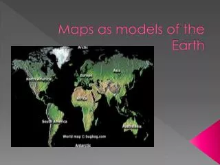
Test your geography knowledge with various questions about Earth's models, cardinal directions, topographic maps, and more. Learn about lines of latitude, longitude, and map distortions.

E N D
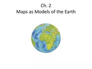
Chapter 2 JeopardyMaps as Models of the Earth Hosted By Mrs. Gorglione
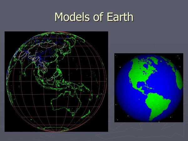
Multiple Choice200 Question: What is a model of the Earth’s surface? a. a landmark b. a map c. a sphere d. a circumference Answer: b. a map Home
Multiple Choice 400 Question: What line connects the North and South Poles? a. axis b. north c. equator d. sphere Answer: a. axis Home
Multiple Choice 600 Question: What is used to find true north on a compass? a. equator b. prime meridian c. magnetic declination d. cardinal directions Home Answer: c. magnetic declination
Multiple Choice 800 Question: What model of the Earth has distortion? a. globe b. map c. meridian d. latitude Home Answer: b. map
Multiple Choice 1000 Question: What would you see on a topographical map? a. stars c. roads b. lines of latitude d. conic projection • Answer: c. roads Home
Vocabulary 200 Question: The imaginary circle halfway between the two poles. Answer: Equator Home
Vocabulary 400 Question: north, south, east, and west Answer: Cardinal Directions Home
Vocabulary 600 Question: another word for parallels Answer: lines of Latitude Home
Vocabulary 800 Question: the most common cylindrical projection Answer: Mercator Home
Vocabulary 1000 Question: distance east or west from the prime meridian • Answer: Lines of Longitude Home
Vocabulary II200 Question: the map projection that shows distance best Answer: Equal-Area Home
Vocabulary II400 Question: a system made of 25 satellites Answer: GPS Home
Vocabulary II600 Question: the difference in elevation between the highest and lowest points Answer : relief Home
Vocabulary II800 Question: the way tops of hills are shown on topographic maps Answer: Closed Circle Home
Vocabulary II1000 Question: line that connects points of equal elevation • Answer: Contour Line Home
Fill in the Blank200 Question: A compass needle points to the ____________. Answer: Magnetic North Pole Home
Fill in the Blank 400 Question: The longitude line at 0° is called the _______ . Answer: Prime Meridian Home
Fill in the Blank 600 Question: The projection that is best at mapping the poles is _______________________. • Answer: azimuthal Home
Fill in the Blank 800 Question: The Earth is shaped like a(n) __________________. Answer: Sphere Home
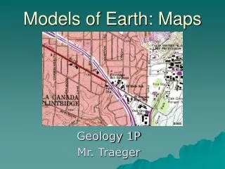
Fill in the Blank 1000 Question: A map that shows surface features of the Earth is a(n) _______________________ map. Answer: Topographic Home
Fill in the Blank II200 Question: People use a _____________________ to describe location and direction. Answer: Reference Point Home
Fill in the Blank II 400 Question: The longitude line at 0° goes through the __________________. Answer: North Pole or South Pole Home
Fill in the Blank II 600 Question: Information about a place stored on computers is called ____________. Answer: GIS Home
Fill in the Blank II 800 Question: Two contour lines that are close together show a _____________ slope. Answer: Steep Home
Fill in the Blank II 1000 Question: Lines of latitude and lines of longitude form a _____________ system on globes and maps. Answer: Grid Home
Bonus Question Topic: Multiple Choice Answer: 22. B 23. C 24. C Home