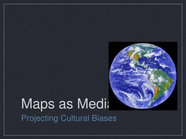
Maps as models of the Earth
340 likes | 586 Vues
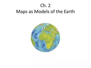
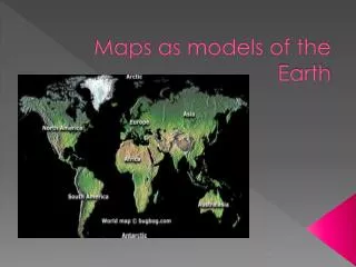
Maps as models of the Earth. You are here. Map - is a representation of the features of a physical body such as Earth. Ptolemy Map. European Maps. Europeans’ placed East at the top to emphasize the importance of Jerusalem to the Europeans’ faith. Chinese Maps.

Maps as models of the Earth
E N D
Presentation Transcript
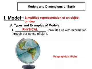
You are here • Map - is a representation of the features of a physical body such as Earth.
European Maps • Europeans’ placed East at the top to emphasize the importance of Jerusalem to the Europeans’ faith.
Chinese Maps • The Chinese put south at the top of their maps because nothing to the north held any interest to them.
The Greeks • Accepted the Earth as being a sphere almost 2,000 years before Christopher Columbus made his voyage in 1492. • Eratosthenes – A Greek mathematician, wanted to know the size of Earth. • Calculated the circumference using math and observation of the sun. • No Satellites or computers were used just pen and paper. • His calculations were off by 6,250km. Roughly 4,000miles.
Finding Direction on Earth • Reference Point – a fixed place on the Earth’s surface from which direction and location can be described. • Because Earth is spherical it doesn’t really have any reference points or does it?
Reference Points on Earth • Axis – the imaginary line that runs through the Earth. • At each end of the axis is the geographic poles: • North Pole • South Pole
Cardinal Directions • Cardinal Directions – The popular directions of North, South, East, and West. • What are the advantages of Cardinal Directions?
Using a Compass • Compass – a tool that uses the natural magnetism of the Earth to show direction. • The Earth has two different sets of poles • Geographic Poles – The location in which the Earth spins on its Axis. • Magnetic Poles – The poles that the compass will point to.
True North and Magnetic Declination • True North – the direction to the geographic North Pole • You must make a correction for the difference between the geographic North Pole and the magnetic north pole, in order to use a compass. • Magnetic Declination – the difference between the magnetic north and the true north. • Must be calculated in order to use a compass.
Using Magnetic Declination • Magnetic declination is measure in degrees east or west of true north. (pg 39 fig 5) • Figure out roughly what the magnetic declination is for New Bern, NC. • Remember CEEC ( Correct Easterly Errors Clockwise)
Finding Locations on the Earth • Just like you have an address at your house city’s, states, and islands have an address too. • The address includes two very important geographical terms. • Longitude • Latitude.
Latitude • Latitude – Imaginary lines drawn around the Earth parallel to the equator. • Tells distances North or South of the equator. • Expressed in degrees.
Equator A circle located halfway between the North and South Poles that divides the Earth into the Northern and Southern Hemispheres. • Represents 0° latitude • Divides the Earth into Northern Hemisphere and Southern Hemisphere.
Latitude • North Pole and South Pole • Located at 90° • Pg 43 fig 3-1
Longitude • Longitude – lines of longitude, or meridians, are imaginary lines that pass through both poles. • Distance East and West of the prime meridian. • Expressed in degrees. • Lines run North and South of Equator and are farther apart at the equator.
Longitude • http://earthguide.ucsd.edu/earthguide/diagrams/globe/globe.swf
Prime Meridian • Prime Meridian – the line that runs from North Pole through Greenwich, England to the South Pole. • Does not run on both sides of the Earth like the Equator. • Is located at 0° • With the 180 °Meridian line cut the Earth into two halves West and East. • 180 °Meridian line runs on the opposite side of the Prime Meridian.
Prime Meridian/ Meridian • Together the prime meridian and meridian lines divide the Earth into an Eastern and Western hemisphere.
Question • Why is the prime meridian 0 longitude and the meridian 180 longitude when they are the same line dividing the Earth into an east and a west?
Using Latitude and Longitude • There are two ways in which you can use Latitude and Longitude. • To find an object on a map. • To figure out the address of the object.
To find an object on a map. • In order to find and object on a map you must first find the latitude and the longitude of the object. • Second you trace your fingers together and you should be on top of the object or very close to it.
To find the address of an object. • Find the object on the map. • Trace your finger out to the longitude and latitude readings.
Great Circles • Shortest route between two points on a sphere. • Is the same as the shortest point between two points is a straight line. • Used in navigation, especially in long-distance travel by boat or aircraft.