Download
1 / 25
250 likes | 542 Vues
VISTAS ASIP What’s New Review SESARM-EPA Meeting November 16, 2007. 300. 250. 200. Sea Salt. Coarse. Soil. Extinction (Mm -1 ). 150. EC. POM. NH4NO3. 100. (NH4)2SO4. Rayleigh. 50. 0. Sipsey, AL. Breton, LA. Mingo, MO. Cohutta, GA. St. Marks, FL. Cape Romain, SC.

E N D
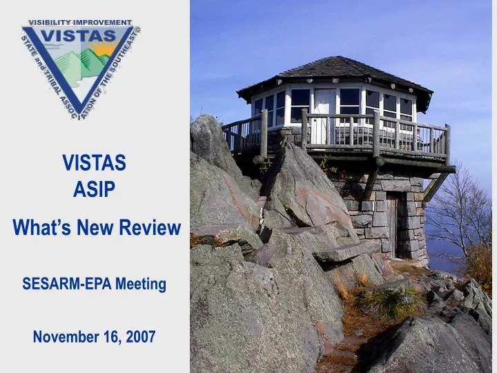
VISTAS ASIP What’s New Review SESARM-EPA Meeting November 16, 2007
300 250 200 Sea Salt Coarse Soil Extinction (Mm -1) 150 EC POM NH4NO3 100 (NH4)2SO4 Rayleigh 50 0 Sipsey, AL Breton, LA Mingo, MO Cohutta, GA St. Marks, FL Cape Romain, SC Everglades, FL Brigantine, NJ Okefenokee, GA Dolly Sods, WV Swanquarter, NC Caney Creek, AR Shenandoah, VA Shining Rock, NC Linville Gorge, NC Upper Buffalo, AR Chassahowitzka, FL Hercules Glades, MO Mammoth Cave, KY James River Face, VA Great Smoky Mtns., TN Neighboring non-VISTAS VISTAS coastal VISTAS inland Average Extinction for 20% Haziest Days in 2000-2004 New IMPROVE Algorithm
Sea Salt Coarse Soil EC POM NH4NO3 (NH4)2SO4 Average Mass for 20% Haziest Days in 2000-2004 35 30 25 20 Mass (µg/m3) 15 10 5 0 Sipsey, AL Mingo, MO Breton, LA Cohutta, GA St. Marks, FL Cape Romain, SC Everglades, FL Brigantine, NJ Dolly Sods, WV Okefenokee, GA Shenandoah, VA Swanquarter, NC Caney Creek, AR Shining Rock, NC Upper Buffalo, AR Linville Gorge, NC Chassahowitzka, FL Mammoth Cave, KY Hercules Glades, MO James River Face, VA Great Smoky Mtns., TN Neighboring non-VISTAS VISTAS coastal VISTAS inland
Utilities Industrial On road Non road Other VISTAS States SO2 Emissions- Base G2 2018: 2.2 Million tons 2002: 4.8 Million tons Industry Utility 45% 52% On Road + Non Road also reduced 70% Utilities reduced 70% by 2018
2018 Base G2a CMAQ Visibility Projection for 20% Worst Days 200% CMAQ New IMPROVE Algorithm 180% 160% 140% 120% 100% Percent of target reduction achieved 80% 60% 40% 20% 0% JARI SIPS BRIG LIGO MING UPBU OKEF BRET HEGL CHAS EVER SHEN SAMA CACR MACA SHRO COHU DOSO ROMA GRSM SWAN VISTAS non-VISTAS Most VISTAS Class I areas will achieve better than uniform rate of progress by 2018
Conclusions: Contributions • At mountain sites 20% worst days are summer days, large SO4 reductions in response to SO2 emission reductions • Sipsey and Mammoth Cave have some 20% worst days in winter with elevated NO3, lower average reductions • At coastal sites, 20% worst days are year round • In winter, lower SO4 response from same level of SO2 reductions • Little to no change to carbon contributions
2018 Base G2a CMAQ Visibility Projection for 20% Best Days -50% CMAQ New IMPROVE Algorithm -40% -30% -20% -10% Percent of target reduction achieved 0% 10% 20% 30% 40% 50% MING JARI SIPS SAMA LIGO BRIG MACA HEGL CHAS UPBU SHEN EVER SHRO ROMA GRSM CACR COHU OKEF SWAN BRET DOSO non-VISTAS VISTAS At all VISTAS Class I areas visibility on 20% best days will improve by 2018
VISTAS SIP Status • Five (six?) VISTAS states have submitted SIPs to FLM/EPA for review • Five non-VISTAS states have submitted SIPs
FLM/EPA Responses to SIPs • FLM/EPA comments received by 4 states • “We are very pleased with the overall content and quality of the document.” • Revise natural background visibility values • Revise presentation of international emissions • Discuss sources considered for reasonable progress in SIP Narrative • Area of Influence is qualitative • Discuss consultation with neighboring states • Complete documentation • Some comments on specific sources
Consultation • VISTAS states • LA • AR and MO • MANE-VU states
2002 and 2018 VISTAS Base G2 Annual SO2 Emissions MANE-VU Identified EGUs 500,000 Percentage reflects SO2 emission reduction from 2002 levels 400,000 300,000 Annual SO2 Emissions (Tons) 200,000 73% 83% 100,000 74% 90% 82% 77% 93% 0 2002 2018 2002 2018 2002 2018 2002 2018 2002 2018 2002 2018 2002 2018 GA KY NC SC TN VA WV Emissions from identified EGU will be significantly reduced by 2018
VISTAS BaseG2 2018 EGU Controlled Capacity (MW) 20,000 Non Coal Unscrubbed Scrubbed 16,000 12,000 EGU Capacity (MW) 8,000 4,000 0 All M-VU listed All M-VU listed All M-VU listed All M-VU listed All M-VU listed All M-VU listed All M-VU listed GA KY NC SC TN VA WV EGU Controls in VISTAS States in 2018 will be greater than MANE-VU recommendations
Discussion? • SIPs • Consultation • BART
VISTAS Best and Final Model Run • Add BART source controls and corrections for EGU • Deliver early December 2007 • Final results will not be significantly different than Base G2
SO2 Emissions Change from Base G2 to Best and Final – 2018 annual tons/year
VISTAS Final Products • TRC Final BART Report received Oct 31 • Draft Modeling Technical Support Document is available for review • Model Performance Evaluation • Final report end Nov • Carbon analyses underway
Carbon Study Objectives • Identify primary sources of carbon and infer sources of secondary carbon • Desert Research Institute contractor • Samples collected April 2004 – May 2005 • Mammoth Cave, Great Smoky Mtns., Shenandoah, Cape Romain, Millbrook (Raleigh) • 120 organic carbon compounds analyzed in 250 samples • Analyses are incomplete
Shenandoah Mammoth Cave Great Smoky Mtns. Raleigh Cape Romain CLASS 1 URBAN VISTAS Carbon Study Sites
Carbon Study Objectives • Chemical Mass Balance and Positive Matrix Factorization analyses use molecular markers and tracers to identify sources: • Biogenic Emissions • Biomass Burning • Vegetative detritus • Gasoline emissions • Diesel emissions • Meat cooking • Crude oil at Cape Romain
Carbon Study Objectives • For same samples, characterize C14 isotope and ratio of modern to fossil carbon • C14 analyses by Woods Hole Oceanographic Institute • Sources of modern carbon: vegetative emissions, wood burning, agricultural burning • Sources of fossil carbon: gasoline, diesel, oil
Sources of Organic Carbon: Lessons Learned • Modern carbon fraction usually >70% • Modern more important than fossil carbon • Higher modern carbon at forested sites (GRSM and MACA) than coastal (ROMA) or urban (Millbrook) sites • No clear seasonal trends in modern carbon • More wood burning in winter and more vegetative emissions in spring/summer
2002 Quarter 3 Fine Particle Mass – Southern Appalachian Sites 25.0 20.0 Unidentified Fine Soil 15.0 EC Fine Particle Mass - mg/m3 Organics 10.0 NO3 NH4 5.0 SO4 0.0 IMPROVE SEARCH STN Sipsey, AL Atlanta, GA Atlanta, GA Cohutta, GA Roanoke, VA Charlotte, NC Knoxville, TN Louisville, KY Dolly Sods, WV Birmingham, AL Birmingham, AL Shenandoah, VA Shining Rock, NC Mammoth Cave, KY Great Smoky Mtns, TN