Floods
Floods. Definition: Natural process of overbank flow Amount & distribution of precipitation in the drainage basin Rate at which the precipitation soaks into the soil Vegetated vs barren vs rocky Rate at which surface runoff reaches the stream Differs for agricultural vs forested vs urban

Floods
E N D
Presentation Transcript
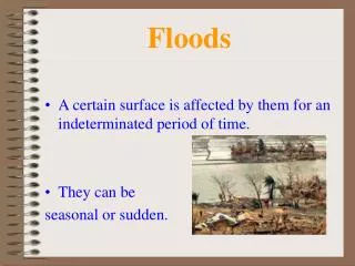
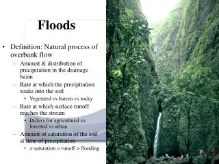
Floods • Definition: Natural process of overbank flow • Amount & distribution of precipitation in the drainage basin • Rate at which the precipitation soaks into the soil • Vegetated vs barren vs rocky • Rate at which surface runoff reaches the stream • Differs for agricultural vs forested vs urban • Amount of saturation of the soil at time of precipitation • > saturation > runoff > flooding
Flood Measurements • Discharge (Q) • Amount of water per unit time that overflows channel banks • Q = H x W x V / 2 • Stage • Height of water in river • Recurrence Interval (R) • Average time between events of equal or greater magnitude • R = (N + 1) / M • R = Recurrence Interval • N is number of yrs of record • M is rank of flow within the recorded years • Hydrograph • Chart that shows change in Q, water depth, or stage over time
Floods • Upstream • Upper portions of drainage basin or tributaries • May be intense • Steep topography • Thin soil horizon • Short duration over relatively small area • Flash floods • Downstream • Wide area • Longer duration • Downstream movement of large Q variation • Gentle topography (large floodplain) • Thick soil horizons • Long-term floods
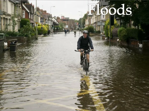
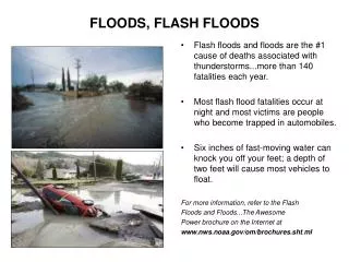
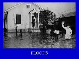
Effects of Flooding • Primary • Injury • Fatalities • Water damage to structures, transporation and communications systems • Erosion and deposition of soils, agriculture, vegetation • Secondary • Short-term pollution of river/stream systems • Natural sediments, leaching of septic or sewer systems • Contamination of drinking water sources • Displacement of population • Hunger and disease • Factors • Land use of floodplain • Depth & velocity or water • Rate of rise and duration of Q • Season in which flooding occurs • Quantity and type of sediments either eroded or deposited • Effectiveness of forecasting, warning and evacuation
Change in Lag Time & Peak Flood • Land-use change from rural to urban • Lag time between precipitation and flood peak shortens • Flood peak increases
Long-term floodingMissouri/Mississippi Confluence1993 • Upper image is during drought season in 1988 • Flow restricted to channel • Note difference in vegetation signature • Lower image show flood stage in July, 1993 • Wettest spring and early summer in 20th century • 14 million acres flooded • 50,000 people displaced
Natural Service Functions • Fertile lands • As water overflows banks, velocity <, causing fine-grained particles to be deposited • Creates and replenishes minerals vital to agricultural processes • Aquatic systems • Provide nutrients to wildlife • Sweep or clean out accumulated debris • Sediment supply • Keep deltaic areas above sea-level • Build beaches and bars for vegetation to take root • Replenish fertile soils
Human Interaction • Land-use changes • Alter amount of sediments impacting stream systems • Introduce new or different solutes into system • Change gradient of stream to compensate for sediment loads • Alter runoff capabilities • Dam construction • Deposition dominates new upstream environment • Erosion and downcutting dominates downstream \ environment • Urbanization • Increases both magnitude and frequency of flood events • Can increase runoff 5x • Reduces lag time between rainfall and flooding • Reduce groundwater by preventing recharge
Mississippi Delta • Over 5-6,000yrs built 7 coalescing sub-deltas • Present “bird-foot” represents the last 500yrs • Channelization, dredging, levee construction have restricted flow to present river configuration while decreasing sediment recharge • Wants to follow Atchafalaya River course