Explore CALIPSO - Space-Based LIDAR for Clouds and Aerosols Research
CALIPSO is a space-based LIDAR providing insights into cloud and aerosol structures globally. It offers statistics on cloud verticality, aerosol distribution, and radiative impact estimation. Discover its technical specifications and advantages, and explore retrievals through polar stereographic projections.

Explore CALIPSO - Space-Based LIDAR for Clouds and Aerosols Research
E N D
Presentation Transcript
CALIPSO • Ben Kravitz • November 5, 2009
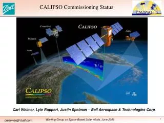
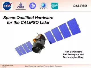
What is CALIPSO? CALIPSO is (among a couple of other things) a space-based LIDAR Launched in 2005 Flies on the A-train
What CALIPSO does • Statistics on the vertical structure of clouds • Geographic and vertical distribution of aerosols around the world • Detection of sub-visible cirrus and polar stratospheric clouds • Indirect estimate of the radiative contribution of aerosols
Technical Specifications • 532 nm: 2 orthogonal channels • 1064 nm: 1 channel
Advantages of Space-Based LIDAR • Doesn’t have to worry about low clouds getting in the way of observations of the upper troposphere • Can survey more than one area
Sample CALIPSO retrievals Text http://www-calipso.larc.nasa.gov/products/lidar/browse_images/show_calendar.php
Each page has approx. 34 images on it Path of the satellite on the specified day Also has images of just daytime and just nighttime
Clickable pieces of the orbits We’ll click on the blue section of the first picture
We get 9 more images The blue section is now highlighted (to remind us what we clicked)
Polar projections This orbit does pass over the Antarctic, but that’s not the part we clicked This orbit doesn’t pass over the Arctic
Notice the really interesting feature over the green/red area (Antarctica)